Transport Functions
Rail
Road
Hub Profile
Place type
District seat
Region
Campania
Population
1,519
Time zone
Europe/Rome
Elevation
270 m
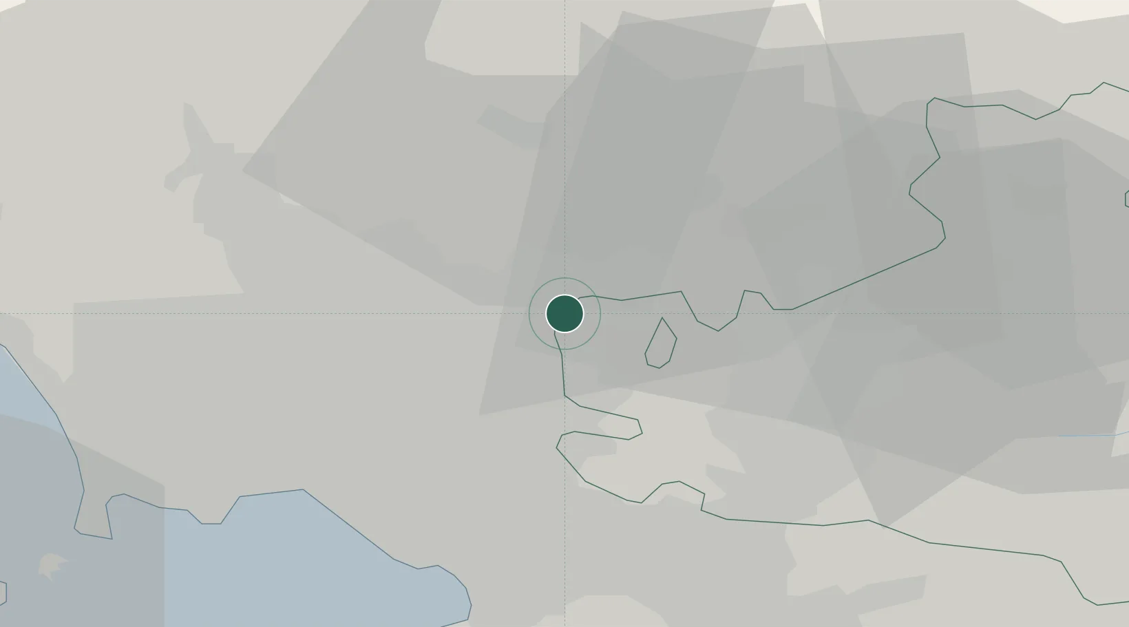
Location
Nearby Logistics Neighbours
Cities
- 1Rotondi1 km
- 2Forchia4 km
- 3Airola5 km
- 4Bonea5 km
- 5Montesarchio6 km
Ports
- 1Torre Del Greco33 km
- 2Torre Annunziata33 km
- 3Napoli34 km
- 4Castellammare Di Stabia38 km
- 5Salerno43 km
Airports
- 1Naples International Airport30 km
- 2Grazzanise Air Base42 km
- 3Salerno Costa d'Amalfi Airport54 km
- 4Foggia Gino Lisa Airport91 km
- 5Amendola Air Base110 km
DatabookThe Record of Consolidated Knowledge
Italy beyond logistics?