Transport Functions
Road
Multimodal
Hub Profile
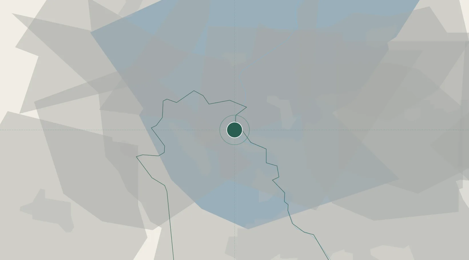
Place type
District seat
Region
Lombardy
Population
4,724
Time zone
Europe/Rome
Elevation
205 m
Location
Nearby Logistics Neighbours
Cities
- 1Dormelletto6 km
- 2Comabbio8 km
- 3Monvalle10 km
- 4Besozzo11 km
- 5Vergiate12 km
Ports
- 1Genova155 km
- 2Savona161 km
- 3Rada Di Vado167 km
- 4Chiavari - Lavagna173 km
- 5La Spezia210 km
Airports
- 1Milan Malpensa International Airport20 km
- 2Varese-Venegono Airport25 km
- 3Cameri Air Base28 km
- 4Lugano Airport38 km
- 5Biella-Cerrione Airfield47 km
Trade Zones
- 1Magazzini Generali Con Chiasso31 km
- 2Aosta Valley136 km
- 3Livigno Free Trade Zone146 km
- 4Port Franc Vevey173 km
- 5PESA - Port-Franc et Entrepôts de Lausanne-Chavornay SA186 km
DatabookThe Record of Consolidated Knowledge
Italy beyond logistics?