UN/LOCODE hub · United Kingdom
GBLON
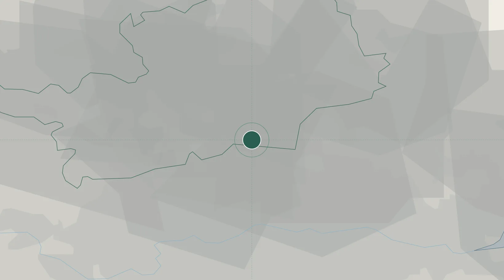
London
51.6982°, -0.1070°
8,961,989
Population
2
Transport functions
Transport Functions
Port
Postal
Hub Profile
Place type
National capital
Region
England
Population
8,961,989
Time zone
Europe/London
Elevation
25 m
Logistics facilities
10
Location
Nearby Logistics Neighbours
Cities
- 1Essendon7 km
- 2Brimsdown7 km
- 3Barnet8 km
- 4Edmonton10 km
- 5North Finchley10 km
Ports
- 1Tilbury40 km
- 2Gravesend43 km
- 3Chatham Docks56 km
- 4Isle Of Grain63 km
- 5Thamesport63 km
Airports
- 1London City Airport24 km
- 2London Luton Airport27 km
- 3RAF Northolt27 km
- 4London Stansted Airport31 km
- 5London Heathrow Airport35 km
Trade Zones
DatabookThe Record of Consolidated Knowledge
United Kingdom beyond logistics?