Transport Functions
Multimodal
Hub Profile
Place type
Urban district
Region
England
Time zone
Europe/London
Elevation
17 m
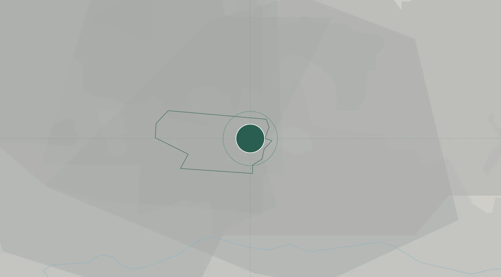
Location
Nearby Logistics Neighbours
Ports
- 1London17 km
- 2Tilbury33 km
- 3Gravesend36 km
- 4Chatham Docks49 km
- 5Isle Of Grain56 km
Airports
- 1London City Airport17 km
- 2RAF Northolt29 km
- 3London Stansted Airport32 km
- 4London Luton Airport34 km
- 5London Heathrow Airport36 km
DatabookThe Record of Consolidated Knowledge
United Kingdom beyond logistics?