Transport Functions
Port
Hub Profile
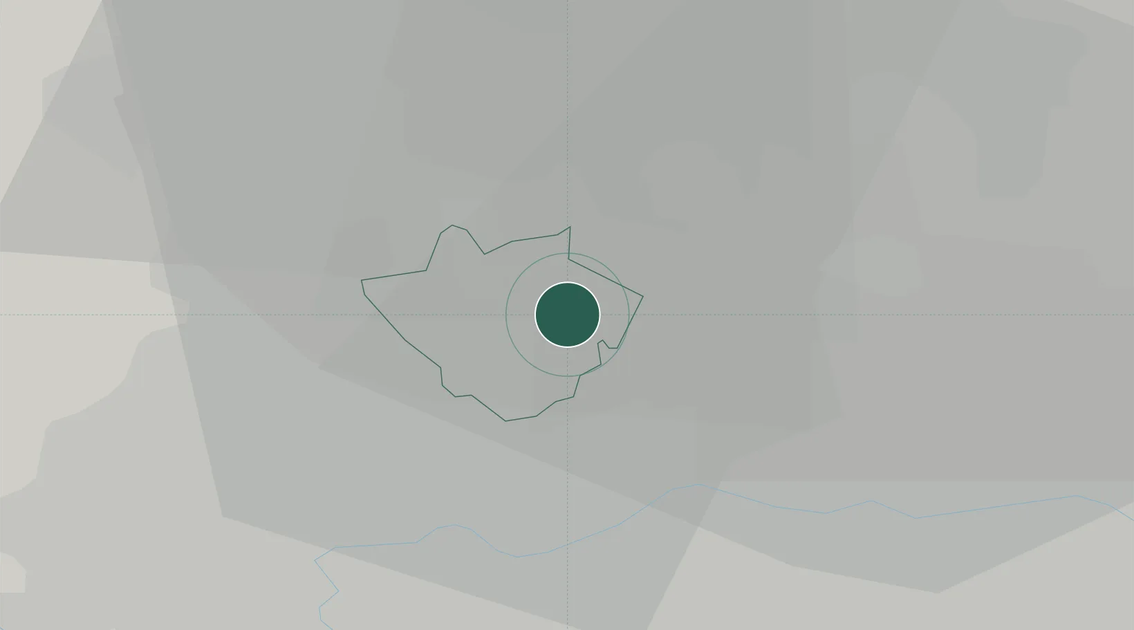
Place type
Populated place
Region
England
Time zone
Europe/London
Elevation
75 m
Location
Nearby Logistics Neighbours
Cities
- 1Barnet4 km
- 2Hornsey5 km
- 3Cricklewood/London7 km
- 4Tottenham7 km
- 5Edmonton9 km
Ports
- 1London14 km
- 2Tilbury38 km
- 3Gravesend41 km
- 4Chatham Docks55 km
- 5Isle Of Grain63 km
Airports
- 1RAF Northolt19 km
- 2London City Airport20 km
- 3London Heathrow Airport26 km
- 4London Luton Airport32 km
- 5London Biggin Hill Airport35 km
DatabookThe Record of Consolidated Knowledge
United Kingdom beyond logistics?