UN/LOCODE hub · United Kingdom
GBPCK
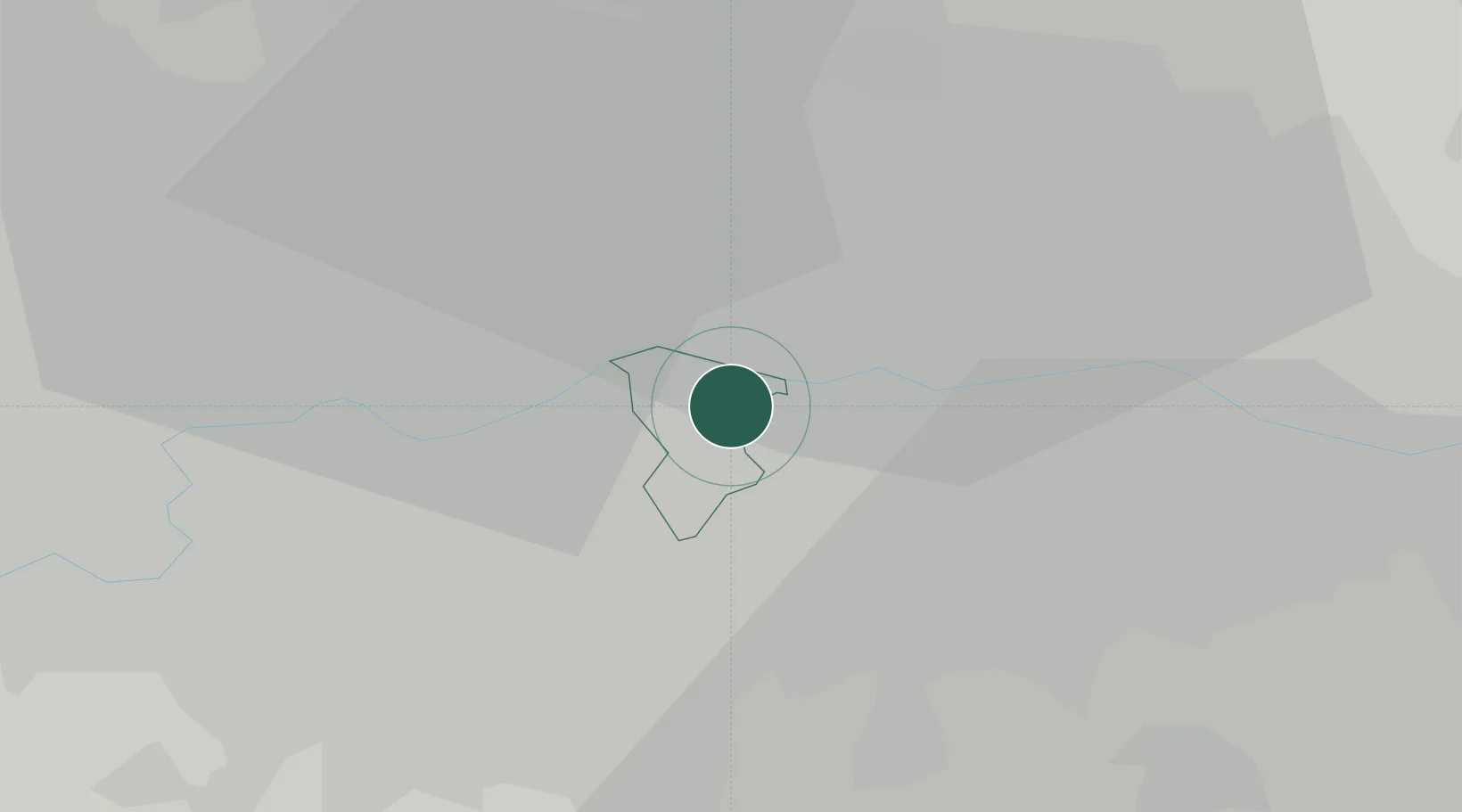
Peckham
51.4833°, -0.0500°
71,552
Population
2
Transport functions
Transport Functions
Rail
Road
Hub Profile
Place type
Urban district
Region
England
Population
71,552
Time zone
Europe/London
Elevation
9 m
Location
Nearby Logistics Neighbours
Cities
- 1Bermondsey/London2 km
- 2Southwark3 km
- 3Canning Town3 km
- 4Kennington/London4 km
- 5Aldersgate4 km
Ports
- 1London3 km
- 2Tilbury27 km
- 3Gravesend29 km
- 4Chatham Docks43 km
- 5Isle Of Grain52 km
Airports
- 1London City Airport8 km
- 2London Biggin Hill Airport18 km
- 3RAF Northolt27 km
- 4London Heathrow Airport28 km
- 5London Gatwick Airport38 km
DatabookThe Record of Consolidated Knowledge
United Kingdom beyond logistics?