Transport Functions
Rail
Road
Hub Profile
Region
SWK
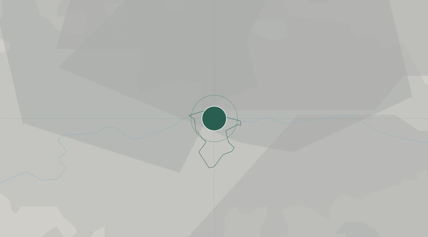
Location
Nearby Logistics Neighbours
Cities
- 1Southwark1 km
- 2Aldersgate2 km
- 3Peckham2 km
- 4Kennington/London3 km
- 5Canning Town4 km
Ports
- 1London1 km
- 2Tilbury28 km
- 3Gravesend31 km
- 4Chatham Docks44 km
- 5Isle Of Grain54 km
Airports
- 1London City Airport9 km
- 2London Biggin Hill Airport20 km
- 3RAF Northolt25 km
- 4London Heathrow Airport27 km
- 5London Gatwick Airport40 km
DatabookThe Record of Consolidated Knowledge
United Kingdom beyond logistics?