Transport Functions
Rail
Road
Hub Profile
Region
BEN
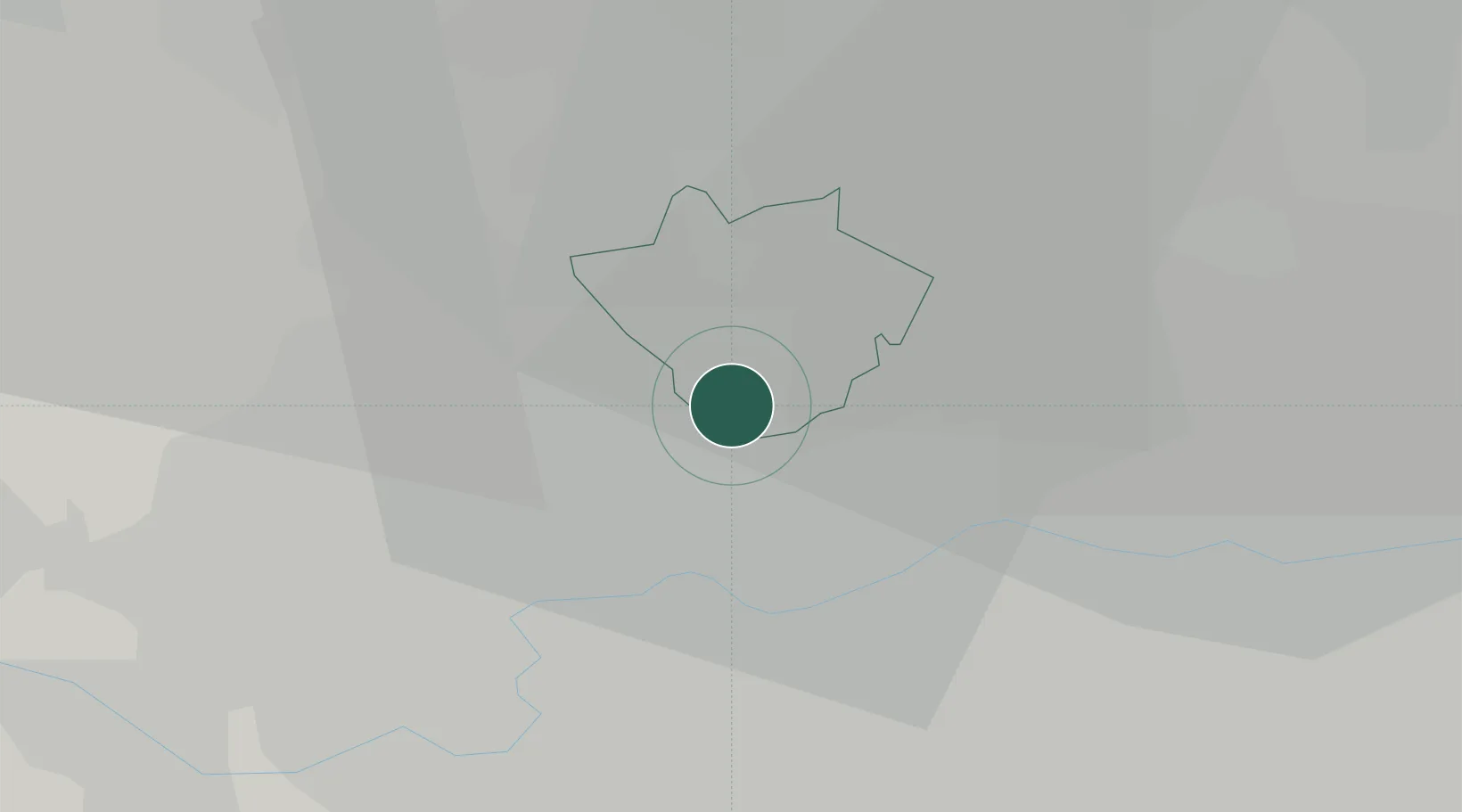
Location
Nearby Logistics Neighbours
Cities
- 1Willesden4 km
- 2Wembley5 km
- 3Alperton6 km
- 4North Finchley7 km
- 5Kentish Town West7 km
Ports
- 1London12 km
- 2Tilbury40 km
- 3Gravesend42 km
- 4Chatham Docks56 km
- 5Isle Of Grain65 km
Airports
- 1RAF Northolt14 km
- 2London Heathrow Airport20 km
- 3London City Airport20 km
- 4London Biggin Hill Airport31 km
- 5London Luton Airport36 km
DatabookThe Record of Consolidated Knowledge
United Kingdom beyond logistics?