UN/LOCODE hub · France
FRZSS

Assas

43.7000°, 3.9000°
1,471
Population
1
Transport functions

Transport Functions

Multimodal
UN/LOCODE

Hub Profile

Place type
Populated place
GeoNames
Region
Occitanie
GeoNames
Population
1,471
GeoNames
Time zone
Europe/Paris
GeoNames
Elevation
116 m
GeoNames

Location

Location of FRZSS
Natural Earth 10m (public domain) · Occitanie · FRZSS · 43.70, 3.90GoogleOSMYandex

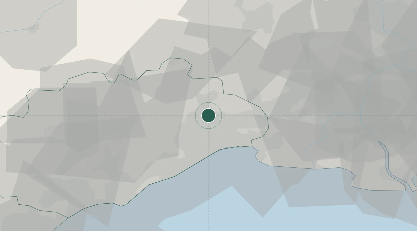
Nearby Logistics Neighbours

Cities
  1. 1Prades-le-Lez3 km
  2. 2Jacou4 km
  3. 3Clapiers6 km
  4. 4Castries7 km
  5. 5Saint-Jean-de-Cuculles8 km
Nearest neighbours — logibook spatial index (haversine) over the source coordinates
Ports
  1. 1Sete37 km
  2. 2Port Saint Louis Du Rhone82 km
  3. 3Fos85 km
  4. 4Port-de-Bouc94 km
  5. 5Port-La-Nouvelle102 km
Nearest neighbours — logibook spatial index (haversine) over the source coordinates
Airports
  1. 1Montpellier-Méditerranée Airport15 km
  2. 2Nîmes-Arles-Camargue Airport42 km
  3. 3Aérodrome d'Alès Cévennes46 km
  4. 4Béziers Vias airport61 km
  5. 5Avignon Caumont airport84 km
Nearest neighbours — logibook spatial index (haversine) over the source coordinates
Trade Zones
  1. 1ZFU Montpellier11 km
  2. 2ZFU Nîmes38 km
  3. 3ZFU Béziers69 km
  4. 4ZFU Avignon78 km
  5. 5ZFU Saint-Barthélémy, Le Canet, Delorme-Paternelle118 km
Nearest neighbours — logibook spatial index (haversine) over the source coordinates
DatabookThe Record of Consolidated Knowledge
France beyond logistics?
Browse databook

All Sources

LocationsUN/LOCODE
UN/LOCODE — free
LocationsGeoNames
CC BY 4.0
Portsthe NGA World Port Index
Public domain (US gov)
AirportsOurAirports
Public domain
Trade Zonesthe World Bank SEZ database
CC BY 4.0
Trade ZonesOpen Zone Map
CC BY
← France locations