UN/LOCODE hub · France
FRSJ9

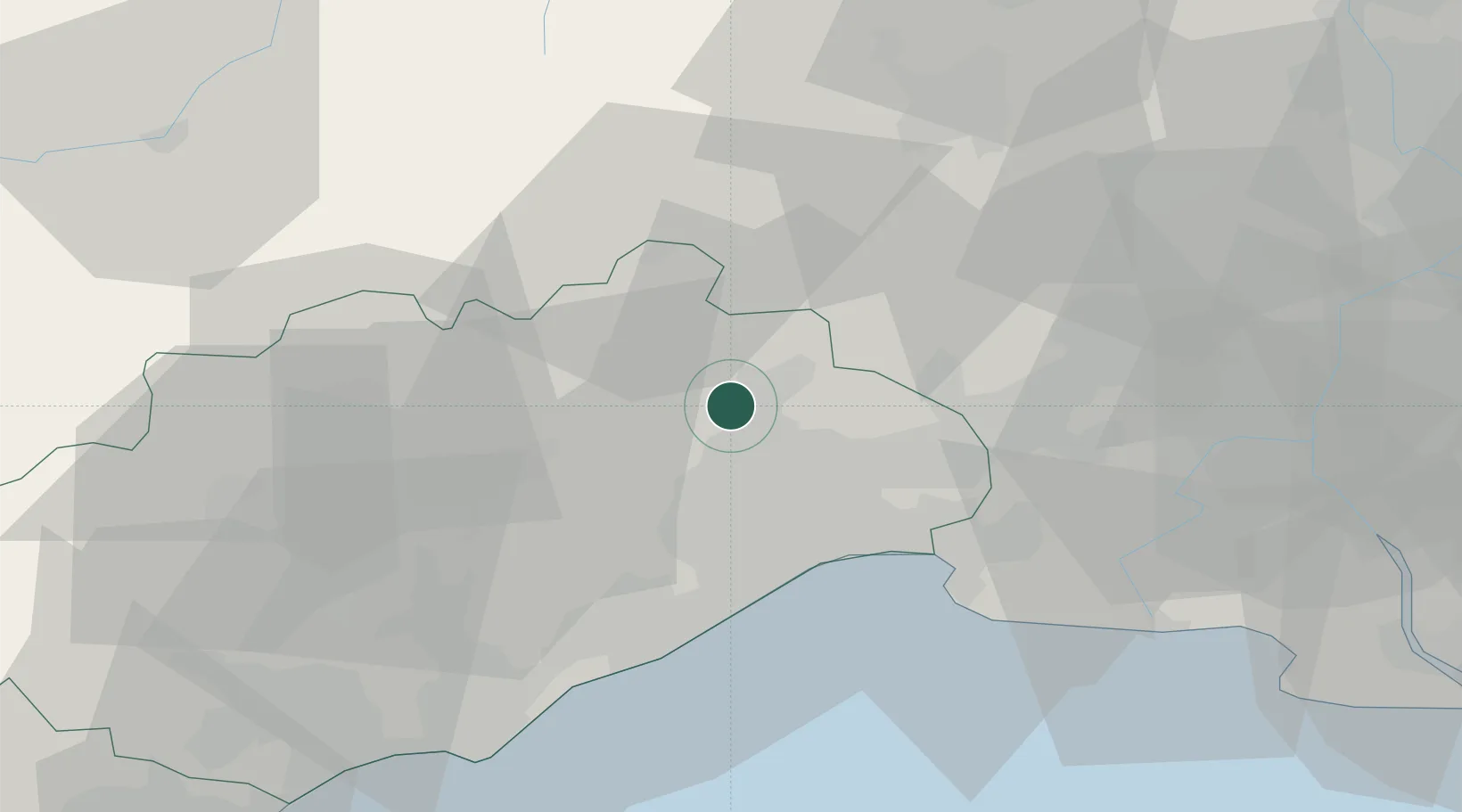
Saint-Jean-de-Cuculles

43.7500°, 3.8333°
454
Population
2
Transport functions

Transport Functions

Road
Multimodal
UN/LOCODE

Hub Profile

Place type
Populated place
GeoNames
Region
Occitanie
GeoNames
Population
454
GeoNames
Time zone
Europe/Paris
GeoNames
Elevation
116 m
GeoNames

Location

Location of FRSJ9
Natural Earth 10m (public domain) · Occitanie · FRSJ9 · 43.75, 3.83GoogleOSMYandex

Nearby Logistics Neighbours

Cities
  1. 1Prades-le-Lez6 km
  2. 2Assas8 km
  3. 3Fontanès9 km
  4. 4Murles9 km
  5. 5Combaillaux9 km
Nearest neighbours — logibook spatial index (haversine) over the source coordinates
Ports
  1. 1Sete40 km
  2. 2Port Saint Louis Du Rhone89 km
  3. 3Fos92 km
  4. 4Port-de-Bouc101 km
  5. 5Port-La-Nouvelle102 km
Nearest neighbours — logibook spatial index (haversine) over the source coordinates
Airports
  1. 1Montpellier-Méditerranée Airport22 km
  2. 2Aérodrome d'Alès Cévennes43 km
  3. 3Nîmes-Arles-Camargue Airport47 km
  4. 4Béziers Vias airport61 km
  5. 5Mende-Brenoux Airfield87 km
Nearest neighbours — logibook spatial index (haversine) over the source coordinates
Trade Zones
  1. 1ZFU Montpellier16 km
  2. 2ZFU Nîmes42 km
  3. 3ZFU Béziers68 km
  4. 4ZFU Avignon81 km
  5. 5ZFU Saint-Barthélémy, Le Canet, Delorme-Paternelle125 km
Nearest neighbours — logibook spatial index (haversine) over the source coordinates
DatabookThe Record of Consolidated Knowledge
France beyond logistics?
Browse databook

All Sources

LocationsUN/LOCODE
UN/LOCODE — free
LocationsGeoNames
CC BY 4.0
Portsthe NGA World Port Index
Public domain (US gov)
AirportsOurAirports
Public domain
Trade Zonesthe World Bank SEZ database
CC BY 4.0
Trade ZonesOpen Zone Map
CC BY
← France locations