Transport Functions
Road
Multimodal
Hub Profile
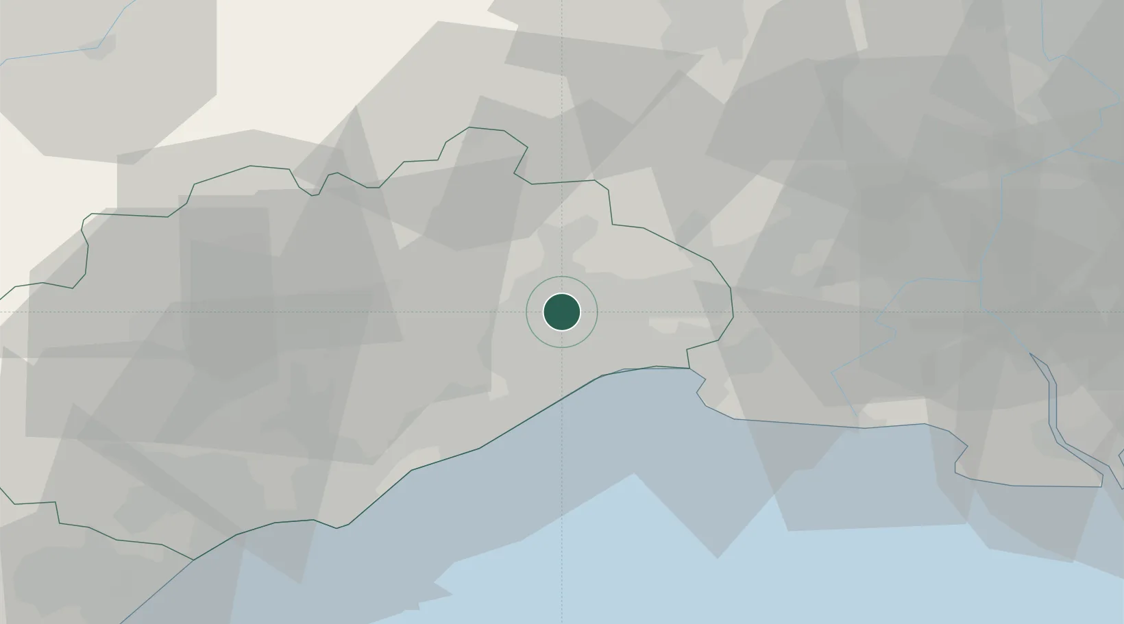
Place type
Populated place
Region
Occitanie
Population
5,237
Time zone
Europe/Paris
Elevation
82 m
Location
Nearby Logistics Neighbours
Cities
- 1Jacou2 km
- 2Prades-le-Lez6 km
- 3Assas6 km
- 4Juvignac8 km
- 5Grabels8 km
Ports
- 1Sete32 km
- 2Port Saint Louis Du Rhone81 km
- 3Fos85 km
- 4Port-de-Bouc93 km
- 5Port-La-Nouvelle97 km
Airports
Trade Zones
- 1ZFU Montpellier6 km
- 2ZFU Nîmes42 km
- 3ZFU Béziers64 km
- 4ZFU Avignon81 km
- 5ZFU Saint-Barthélémy, Le Canet, Delorme-Paternelle117 km
DatabookThe Record of Consolidated Knowledge
France beyond logistics?