Transport Functions
Multimodal
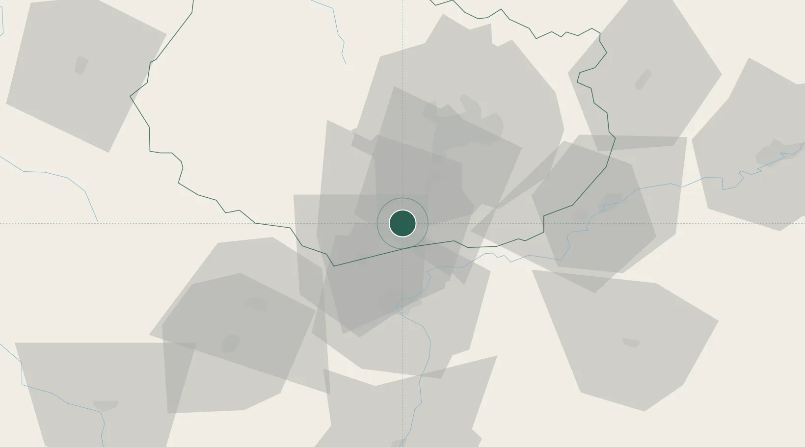
Hub Profile
Place type
Populated place
Region
Bourgogne
Population
753
Time zone
Europe/Paris
Elevation
200 m
Location
Nearby Logistics Neighbours
Cities
- 1Chorey-les-Beaune2 km
- 2Ruffey-lès-Beaune3 km
- 3Levernois4 km
- 4Combertault4 km
- 5Beaune4 km
Ports
- 1Port Of Rouen390 km
- 2Fos402 km
- 3Port-de-Bouc404 km
- 4Port Saint Louis Du Rhone406 km
- 5Savona413 km
Airports
- 1Dijon Longvic airport31 km
- 2Dole Tavaux Airport41 km
- 3Mâcon-Charnay Airfield82 km
- 4Saint-Yan Airport96 km
- 5Vesoul-Frotey Airfield120 km
Trade Zones
DatabookThe Record of Consolidated Knowledge
France beyond logistics?