Transport Functions
Road
Multimodal
Hub Profile
Place type
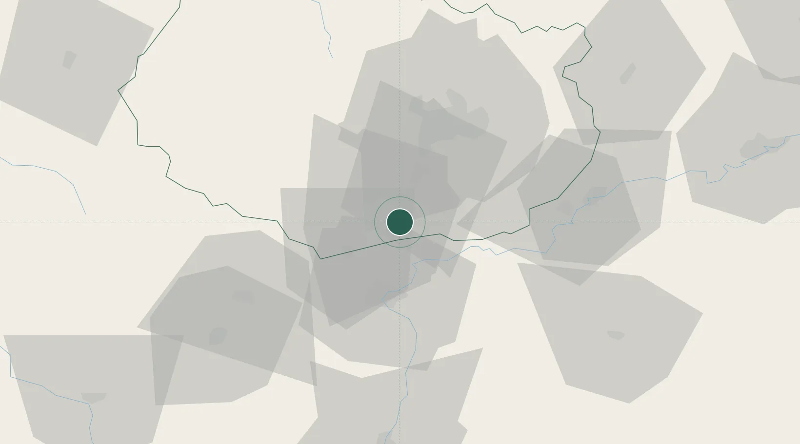
Populated place
Region
Bourgogne
Population
771
Time zone
Europe/Paris
Elevation
189 m
Location
Nearby Logistics Neighbours
Cities
- 1Combertault2 km
- 2Vignoles3 km
- 3Levernois4 km
- 4Meursanges5 km
- 5Chorey-les-Beaune5 km
Ports
- 1Port Of Rouen393 km
- 2Fos400 km
- 3Port-de-Bouc402 km
- 4Port Saint Louis Du Rhone404 km
- 5Savona409 km
Airports
- 1Dijon Longvic airport31 km
- 2Dole Tavaux Airport39 km
- 3Mâcon-Charnay Airfield81 km
- 4Saint-Yan Airport96 km
- 5Ambérieu Air Base (BA 278)119 km
Trade Zones
DatabookThe Record of Consolidated Knowledge
France beyond logistics?