Transport Functions
Port
Multimodal
Hub Profile
Place type
Populated place
Region
Bourgogne
Population
444
Time zone
Europe/Paris
Elevation
191 m
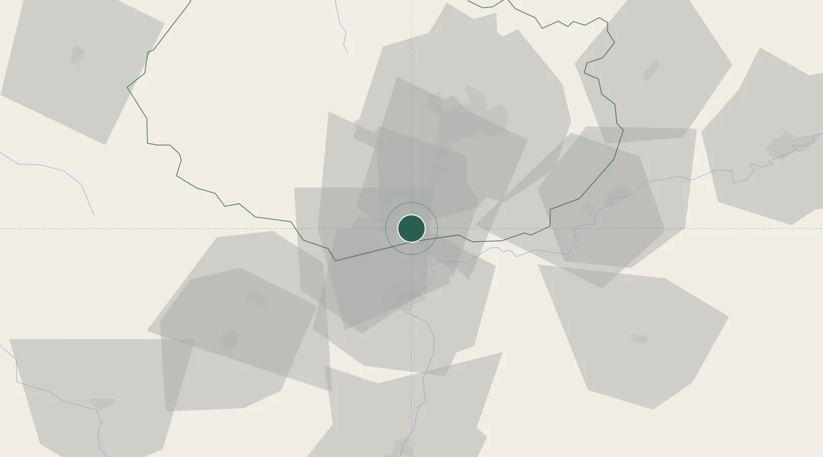
Location
Nearby Logistics Neighbours
Cities
- 1Ruffey-lès-Beaune2 km
- 2Levernois3 km
- 3Vignoles4 km
- 4Meursanges4 km
- 5Beaune5 km
Ports
- 1Port Of Rouen393 km
- 2Fos399 km
- 3Port-de-Bouc400 km
- 4Port Saint Louis Du Rhone402 km
- 5Savona409 km
Airports
- 1Dijon Longvic airport33 km
- 2Dole Tavaux Airport40 km
- 3Mâcon-Charnay Airfield79 km
- 4Saint-Yan Airport94 km
- 5Ambérieu Air Base (BA 278)117 km
Trade Zones
- 1ZFU Chenôve33 km
- 2ZFU Besancon88 km
- 3Geneva Cointrin International Airport Free Port126 km
- 4Port Franc de Geneve128 km
- 5Geneva Freeport, La Praille, Geneva130 km
DatabookThe Record of Consolidated Knowledge
France beyond logistics?