UN/LOCODE hub · France
FRXFL

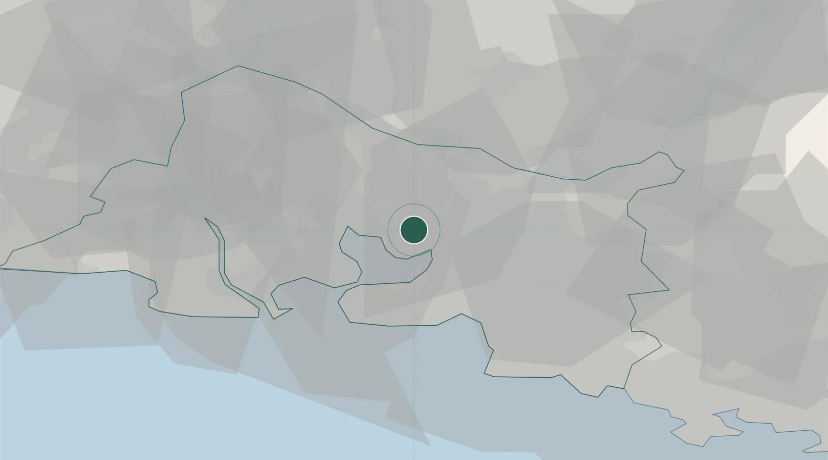
La Fare-les-Oliviers

43.5500°, 5.1833°
6,646
Population
1
Transport functions

Transport Functions

Multimodal
UN/LOCODE

Hub Profile

Place type
Populated place
GeoNames
Region
Provence-Alpes-Côte d'Azur
GeoNames
Population
6,646
GeoNames
Time zone
Europe/Paris
GeoNames
Elevation
57 m
GeoNames

Location

Location of FRXFL
Natural Earth 10m (public domain) · Provence-Alpes-Côte d'Azur · FRXFL · 43.55, 5.18GoogleOSMYandex

Nearby Logistics Neighbours

Cities
  1. 1Coudoux5 km
  2. 2Rognac8 km
  3. 3Berre-l'Étang9 km
  4. 4Pélissanne10 km
  5. 5Salon-de-Provence11 km
Nearest neighbours — logibook spatial index (haversine) over the source coordinates
Ports
  1. 1Port-de-Bouc23 km
  2. 2Fos28 km
  3. 3Marseille30 km
  4. 4Port Saint Louis Du Rhone35 km
  5. 5Toulon78 km
Nearest neighbours — logibook spatial index (haversine) over the source coordinates
Airports
  1. 1Salon-de-Provence (BA 701) Air Base9 km
  2. 2Marseille Provence Airport13 km
  3. 3Istres-Le Tubé Air Base21 km
  4. 4Avignon Caumont airport46 km
  5. 5Le Castellet Airport59 km
Nearest neighbours — logibook spatial index (haversine) over the source coordinates
Trade Zones
  1. 1ZFU Marseille 15e et 16e28 km
  2. 2ZFU Saint-Barthélémy, Le Canet, Delorme-Paternelle30 km
  3. 3ZFU Avignon54 km
  4. 4ZFU Nîmes74 km
  5. 5ZFU La Seyne-sur-Mer75 km
Nearest neighbours — logibook spatial index (haversine) over the source coordinates
DatabookThe Record of Consolidated Knowledge
France beyond logistics?
Browse databook

All Sources

LocationsUN/LOCODE
UN/LOCODE — free
LocationsGeoNames
CC BY 4.0
Portsthe NGA World Port Index
Public domain (US gov)
AirportsOurAirports
Public domain
Trade Zonesthe World Bank SEZ database
CC BY 4.0
Trade ZonesOpen Zone Map
CC BY
← France locations