UN/LOCODE hub · France
FRWLB

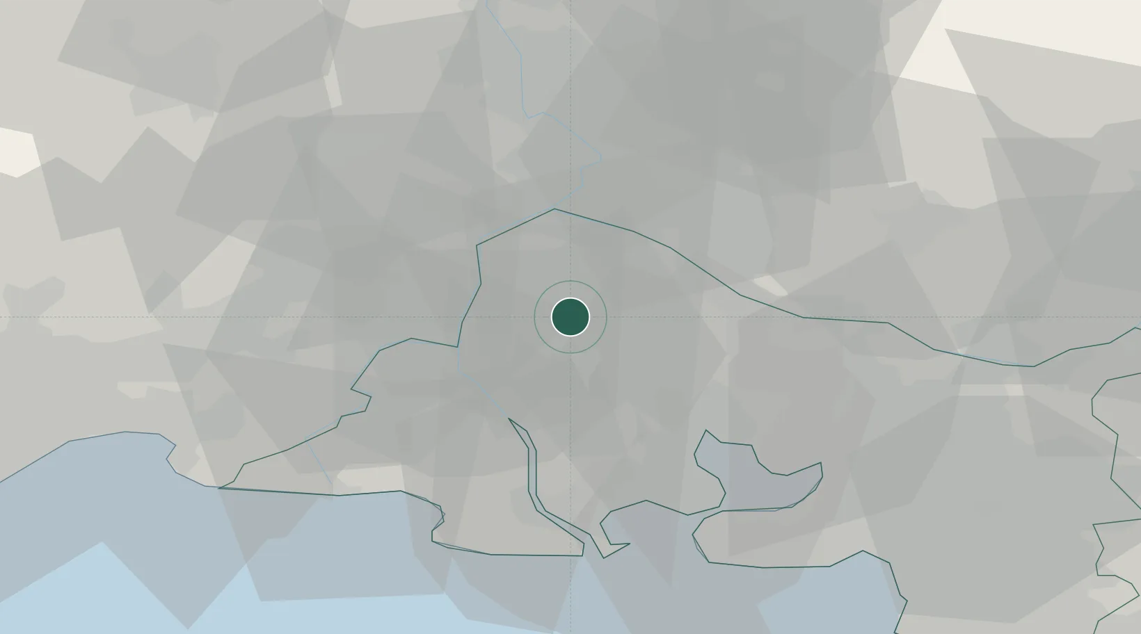
Les Baux-de-Provence

43.7500°, 4.8000°
459
Population
1
Transport functions

Transport Functions

Multimodal
UN/LOCODE

Hub Profile

Place type
Populated place
GeoNames
Region
Provence-Alpes-Côte d'Azur
GeoNames
Population
459
GeoNames
Time zone
Europe/Paris
GeoNames
Elevation
209 m
GeoNames

Location

Location of FRWLB
Natural Earth 10m (public domain) · Provence-Alpes-Côte d'Azur · FRWLB · 43.75, 4.80GoogleOSMYandex

Nearby Logistics Neighbours

Cities
  1. 1Fontvieille9 km
  2. 2Mouriès9 km
  3. 3Mollégès11 km
  4. 4Beaucaire15 km
  5. 5Arles15 km
Nearest neighbours — logibook spatial index (haversine) over the source coordinates
Ports
  1. 1Fos38 km
  2. 2Port Saint Louis Du Rhone41 km
  3. 3Port-de-Bouc42 km
  4. 4Marseille66 km
  5. 5Sete97 km
Nearest neighbours — logibook spatial index (haversine) over the source coordinates
Airports
  1. 1Avignon Caumont airport19 km
  2. 2Istres-Le Tubé Air Base27 km
  3. 3Salon-de-Provence (BA 701) Air Base30 km
  4. 4Nîmes-Arles-Camargue Airport31 km
  5. 5Orange-Caritat (BA 115) Air Base44 km
Nearest neighbours — logibook spatial index (haversine) over the source coordinates
Trade Zones
  1. 1ZFU Avignon22 km
  2. 2ZFU Nîmes37 km
  3. 3ZFU Saint-Barthélémy, Le Canet, Delorme-Paternelle63 km
  4. 4ZFU Marseille 15e et 16e65 km
  5. 5ZFU Montpellier78 km
Nearest neighbours — logibook spatial index (haversine) over the source coordinates
DatabookThe Record of Consolidated Knowledge
France beyond logistics?
Browse databook

All Sources

LocationsUN/LOCODE
UN/LOCODE — free
LocationsGeoNames
CC BY 4.0
Portsthe NGA World Port Index
Public domain (US gov)
AirportsOurAirports
Public domain
Trade Zonesthe World Bank SEZ database
CC BY 4.0
Trade ZonesOpen Zone Map
CC BY
← France locations