UN/LOCODE hub · France
FRBCA

Beaucaire

43.8000°, 4.6333°
14,766
Population
3
Transport functions

Transport Functions

Port
Rail
Road
UN/LOCODE

Hub Profile

Place type
Populated place
GeoNames
Region
Occitanie
GeoNames
Population
14,766
GeoNames
Time zone
Europe/Paris
GeoNames
Elevation
22 m
GeoNames

Location

Location of FRBCA
Natural Earth 10m (public domain) · Occitanie · FRBCA · 43.80, 4.63GoogleOSMYandex

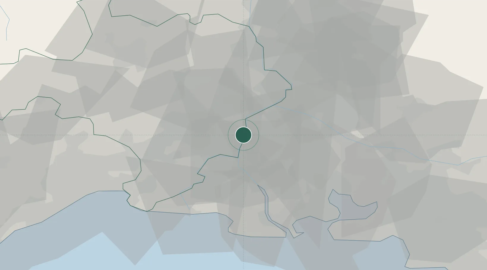
Nearby Logistics Neighbours

Cities
  1. 1Vallabrègues6 km
  2. 2Jonquières-Saint-Vincent7 km
  3. 3Mézoargues8 km
  4. 4Montfrin10 km
  5. 5Meynes11 km
Nearest neighbours — logibook spatial index (haversine) over the source coordinates
Ports
  1. 1Fos47 km
  2. 2Port Saint Louis Du Rhone49 km
  3. 3Port-de-Bouc53 km
  4. 4Marseille80 km
  5. 5Sete87 km
Nearest neighbours — logibook spatial index (haversine) over the source coordinates
Airports
  1. 1Nîmes-Arles-Camargue Airport18 km
  2. 2Avignon Caumont airport25 km
  3. 3Istres-Le Tubé Air Base39 km
  4. 4Orange-Caritat (BA 115) Air Base42 km
  5. 5Salon-de-Provence (BA 701) Air Base44 km
Nearest neighbours — logibook spatial index (haversine) over the source coordinates
Trade Zones
  1. 1ZFU Avignon22 km
  2. 2ZFU Nîmes23 km
  3. 3ZFU Montpellier67 km
  4. 4ZFU Saint-Barthélémy, Le Canet, Delorme-Paternelle76 km
  5. 5ZFU Marseille 15e et 16e79 km
Nearest neighbours — logibook spatial index (haversine) over the source coordinates
DatabookThe Record of Consolidated Knowledge
France beyond logistics?
Browse databook

All Sources

LocationsUN/LOCODE
UN/LOCODE — free
LocationsGeoNames
CC BY 4.0
Portsthe NGA World Port Index
Public domain (US gov)
AirportsOurAirports
Public domain
Trade Zonesthe World Bank SEZ database
CC BY 4.0
Trade ZonesOpen Zone Map
CC BY
← France locations