Transport Functions
Multimodal
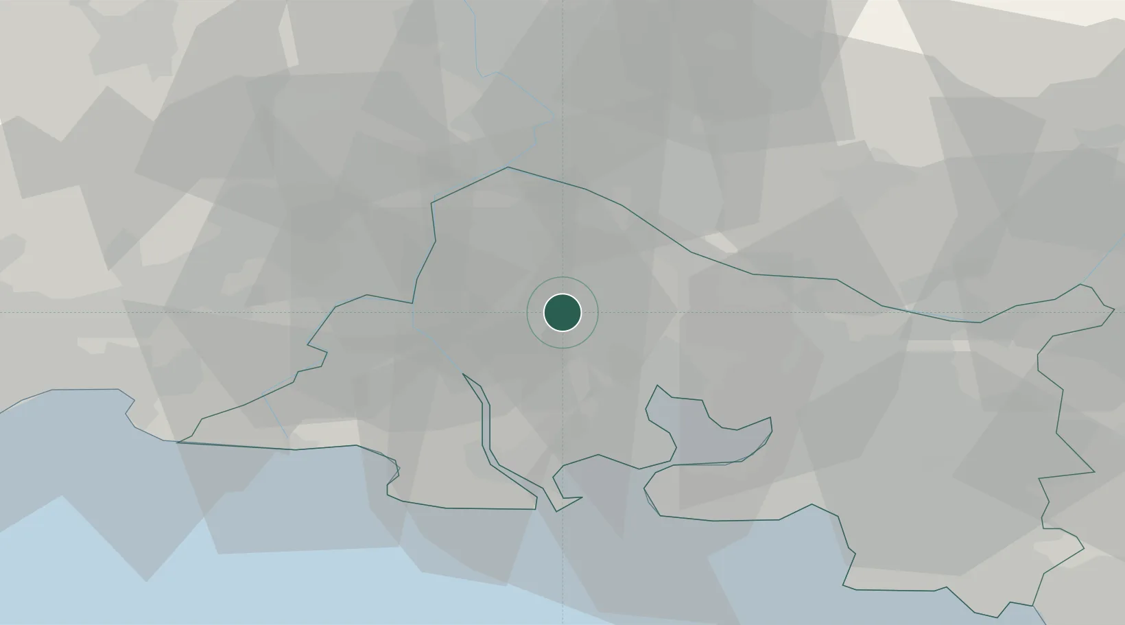
Hub Profile
Place type
Populated place
Region
Provence-Alpes-Côte d'Azur
Population
2,909
Time zone
Europe/Paris
Elevation
19 m
Location
Nearby Logistics Neighbours
Cities
- 1Les Baux-de-Provence9 km
- 2Mollégès14 km
- 3Fontvieille14 km
- 4Miramas16 km
- 5Saint-Andiol18 km
Ports
- 1Fos30 km
- 2Port-de-Bouc33 km
- 3Port Saint Louis Du Rhone34 km
- 4Marseille57 km
- 5Sete99 km
Airports
Trade Zones
- 1ZFU Avignon30 km
- 2ZFU Nîmes45 km
- 3ZFU Saint-Barthélémy, Le Canet, Delorme-Paternelle54 km
- 4ZFU Marseille 15e et 16e56 km
- 5ZFU Montpellier83 km
DatabookThe Record of Consolidated Knowledge
France beyond logistics?