Transport Functions
Multimodal
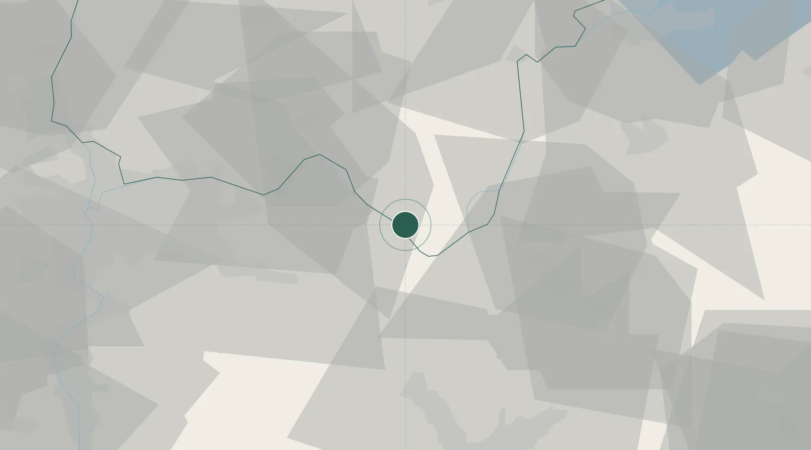
Hub Profile
Place type
Populated place
Region
Rhône-Alpes
Population
353
Time zone
Europe/Paris
Elevation
237 m
Location
Nearby Logistics Neighbours
Cities
- 1Saint-Benoît2 km
- 2Lhuis5 km
- 3Passins11 km
- 4Le Mesnil-Mauger11 km
- 5Villiers-sur-Marne11 km
Ports
- 1Fos261 km
- 2Port-de-Bouc262 km
- 3Nice262 km
- 4Villefranche263 km
- 5Monaco265 km
Airports
Trade Zones
- 1ZFU Vaulx-en-Velin51 km
- 2ZFU Vénissieux56 km
- 3ZFU Rillieux-la-Pape56 km
- 4ZFU Lyon 9e59 km
- 5ZFU Grenoble60 km
DatabookThe Record of Consolidated Knowledge
France beyond logistics?