Transport Functions
Multimodal
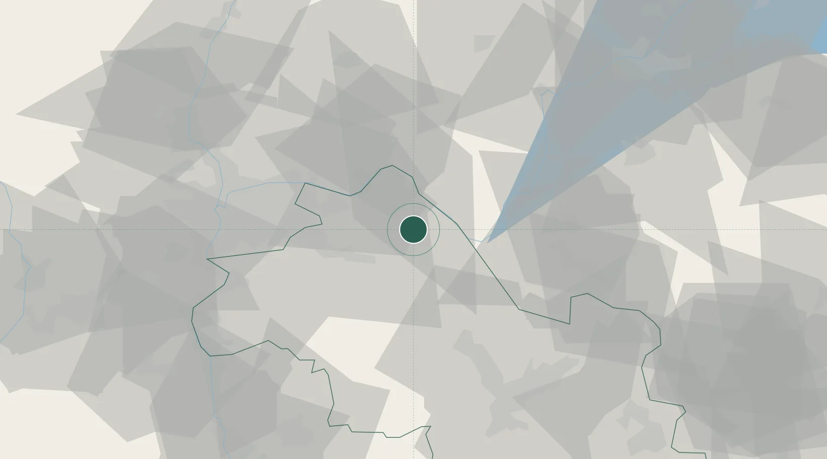
Hub Profile
Place type
Populated place
Region
Grand Est
Time zone
Europe/Paris
Elevation
210 m
Location
Nearby Logistics Neighbours
Cities
- 1Passins0 km
- 2Le Mesnil-Mauger0 km
- 3Clazay0 km
- 4Dolomieu9 km
- 5Lhuis11 km
Ports
- 1Fos256 km
- 2Port-de-Bouc256 km
- 3Port Saint Louis Du Rhone260 km
- 4Marseille263 km
- 5Nice265 km
Airports
Trade Zones
- 1ZFU Vaulx-en-Velin41 km
- 2ZFU Vénissieux45 km
- 3ZFU Rillieux-la-Pape47 km
- 4ZFU Lyon 9e50 km
- 5ZFU Grenoble59 km
DatabookThe Record of Consolidated Knowledge
France beyond logistics?