Transport Functions
Multimodal
Hub Profile
Place type
Populated place
Region
Rhône-Alpes
Population
297
Time zone
Europe/Paris
Elevation
497 m
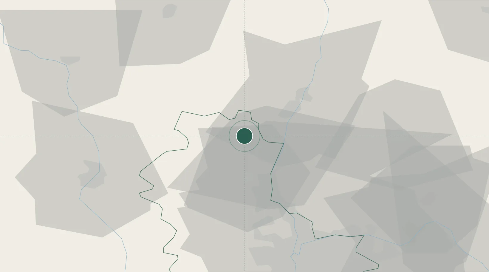
Location
Nearby Logistics Neighbours
Cities
- 1Émeringes2 km
- 2Chiroubles2 km
- 3Jullié5 km
- 4Villié-Morgon5 km
- 5Corcelles-en-Beaujolais8 km
Ports
- 1Fos310 km
- 2Port-de-Bouc313 km
- 3Port Saint Louis Du Rhone314 km
- 4Sete320 km
- 5Marseille326 km
Airports
- 1Mâcon-Charnay Airfield15 km
- 2Roanne-Renaison Airport53 km
- 3Saint-Yan Airport54 km
- 4Lyon Bron Airport57 km
- 5Ambérieu Air Base (BA 278)57 km
Trade Zones
- 1ZFU Rillieux-la-Pape45 km
- 2ZFU Lyon 9e49 km
- 3ZFU Vaulx-en-Velin51 km
- 4ZFU Vénissieux58 km
- 5ZFU Saint-Etienne91 km
DatabookThe Record of Consolidated Knowledge
France beyond logistics?