UN/LOCODE hub · France
FRXCB
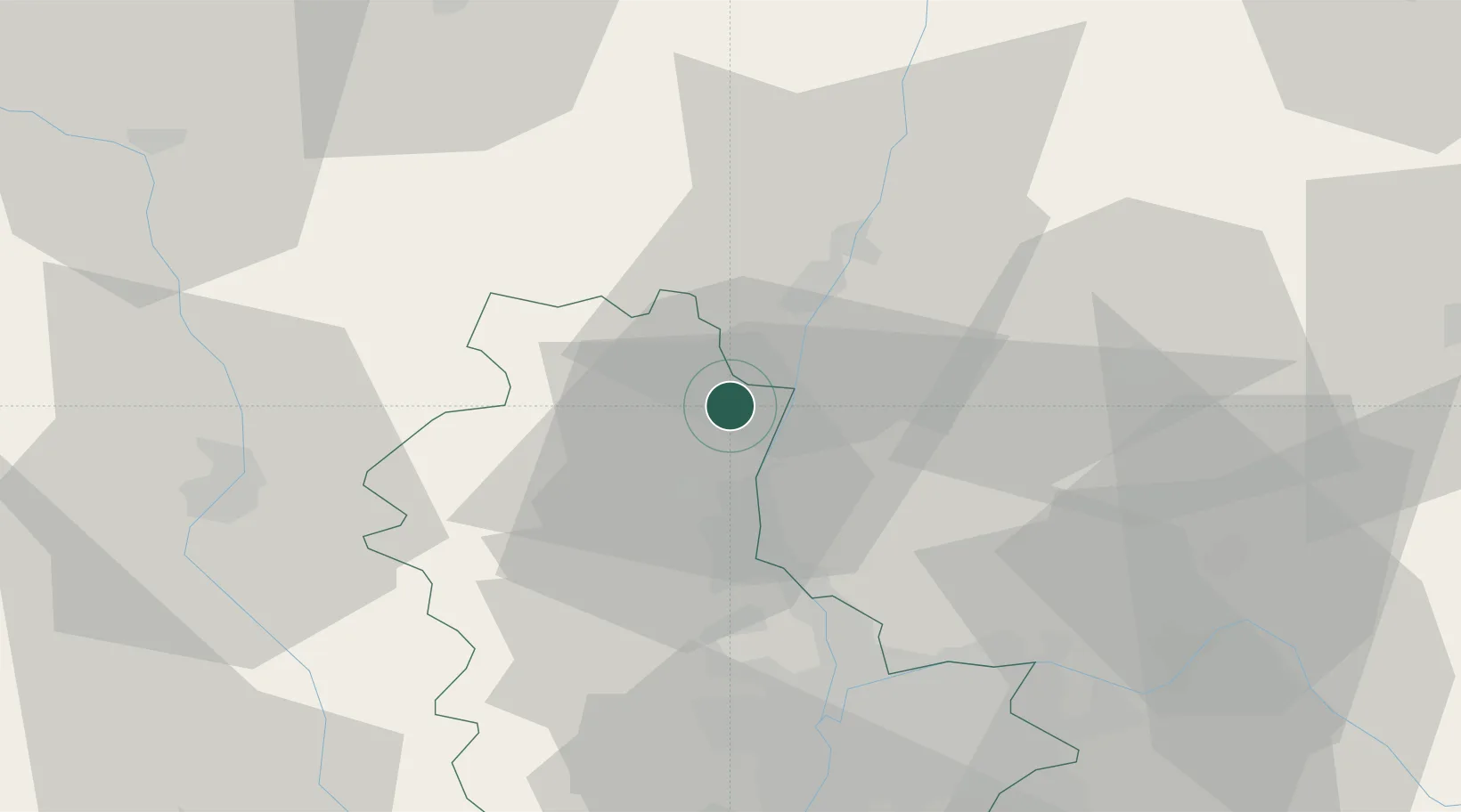
Corcelles-en-Beaujolais
46.1500°, 4.7167°
804
Population
2
Transport functions
Transport Functions
Port
Multimodal
Hub Profile
Place type
Populated place
Region
Rhône-Alpes
Population
804
Time zone
Europe/Paris
Elevation
215 m
Location
Nearby Logistics Neighbours
Cities
- 1Villié-Morgon3 km
- 2Chiroubles5 km
- 3Cercié5 km
- 4Saint-Lager5 km
- 5Taponas5 km
Ports
- 1Fos304 km
- 2Port-de-Bouc307 km
- 3Port Saint Louis Du Rhone308 km
- 4Sete316 km
- 5Marseille319 km
Airports
- 1Mâcon-Charnay Airfield17 km
- 2Lyon Bron Airport50 km
- 3Ambérieu Air Base (BA 278)51 km
- 4Lyon Saint-Exupéry Airport55 km
- 5Roanne-Renaison Airport56 km
Trade Zones
- 1ZFU Rillieux-la-Pape38 km
- 2ZFU Lyon 9e42 km
- 3ZFU Vaulx-en-Velin44 km
- 4ZFU Vénissieux51 km
- 5ZFU Saint-Etienne87 km
DatabookThe Record of Consolidated Knowledge
France beyond logistics?