Transport Functions
Multimodal
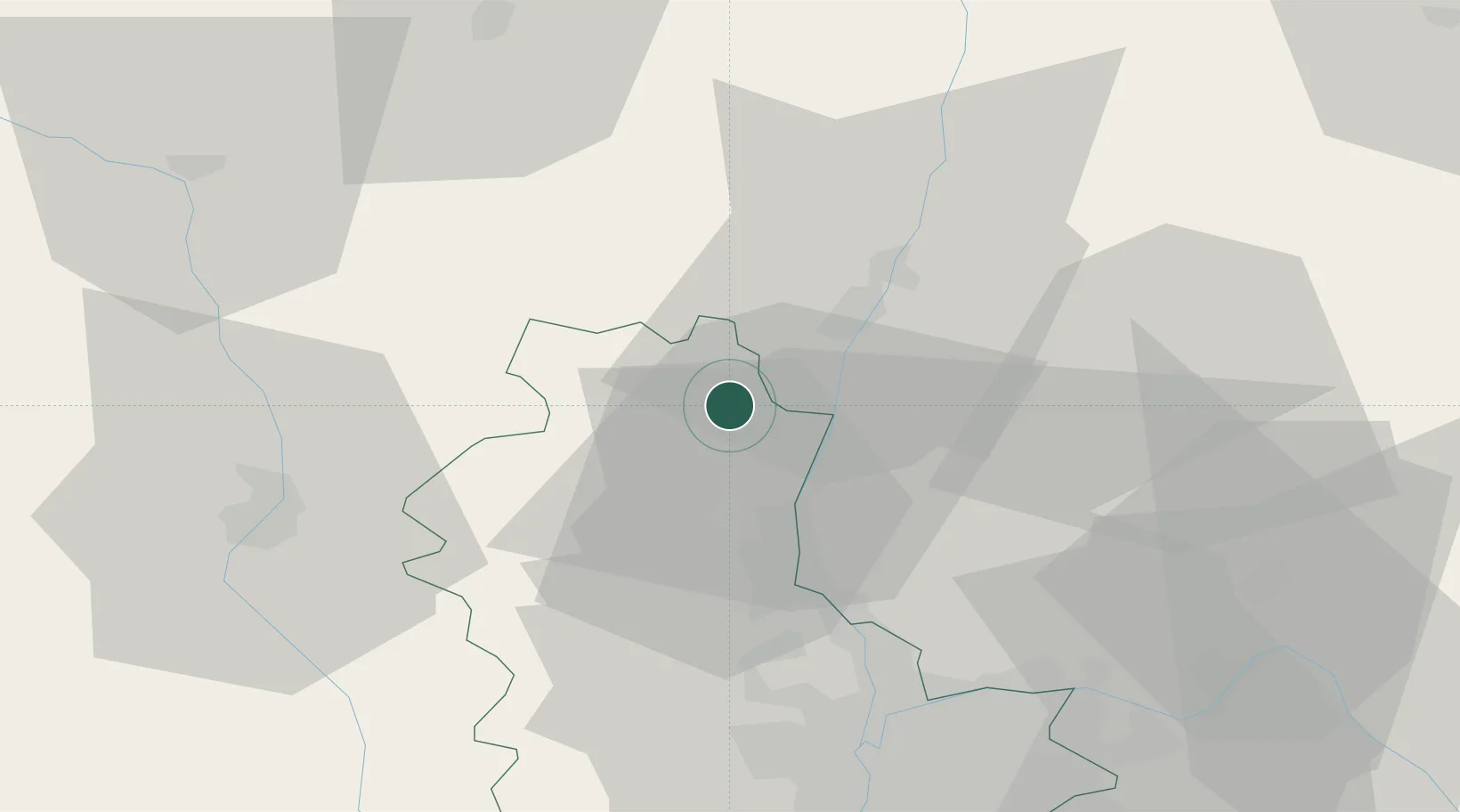
Hub Profile
Place type
Populated place
Region
Rhône-Alpes
Population
375
Time zone
Europe/Paris
Elevation
403 m
Location
Nearby Logistics Neighbours
Cities
- 1Vauxrenard2 km
- 2Villié-Morgon2 km
- 3Émeringes4 km
- 4Corcelles-en-Beaujolais5 km
- 5Jullié6 km
Ports
- 1Fos308 km
- 2Port-de-Bouc311 km
- 3Port Saint Louis Du Rhone312 km
- 4Sete319 km
- 5Marseille324 km
Airports
- 1Mâcon-Charnay Airfield16 km
- 2Roanne-Renaison Airport53 km
- 3Lyon Bron Airport55 km
- 4Ambérieu Air Base (BA 278)56 km
- 5Saint-Yan Airport56 km
Trade Zones
- 1ZFU Rillieux-la-Pape42 km
- 2ZFU Lyon 9e47 km
- 3ZFU Vaulx-en-Velin49 km
- 4ZFU Vénissieux56 km
- 5ZFU Saint-Etienne89 km
DatabookThe Record of Consolidated Knowledge
France beyond logistics?