Transport Functions
Road
Multimodal
Hub Profile
Place type
Populated place
Region
Provence-Alpes-Côte d'Azur
Population
546
Time zone
Europe/Paris
Elevation
255 m
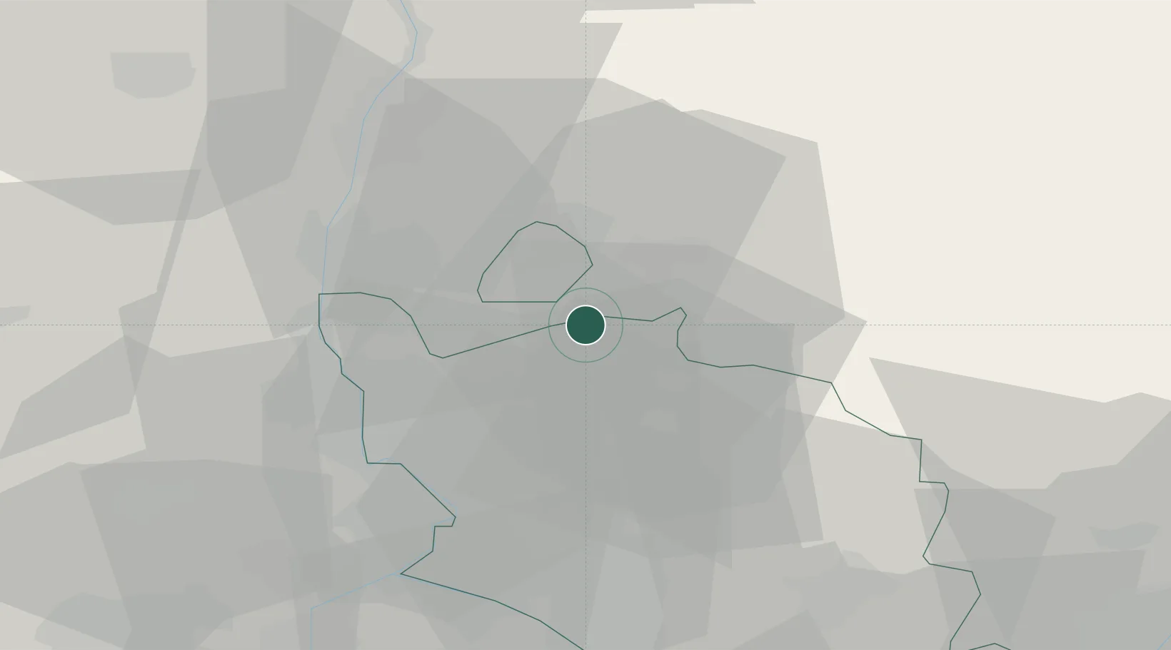
Location
Nearby Logistics Neighbours
Cities
- 1Buisson3 km
- 2Roaix4 km
- 3Saint-Roman-de-Malegarde6 km
- 4Saint-Romain-en-Viennois8 km
- 5Puyméras8 km
Ports
- 1Fos97 km
- 2Port-de-Bouc98 km
- 3Port Saint Louis Du Rhone102 km
- 4Marseille111 km
- 5Sete145 km
Airports
Trade Zones
- 1ZFU Avignon41 km
- 2ZFU Valence73 km
- 3ZFU Nîmes75 km
- 4ZFU Marseille 15e et 16e109 km
- 5ZFU Grenoble113 km
DatabookThe Record of Consolidated Knowledge
France beyond logistics?