UN/LOCODE hub · France
FRNOT

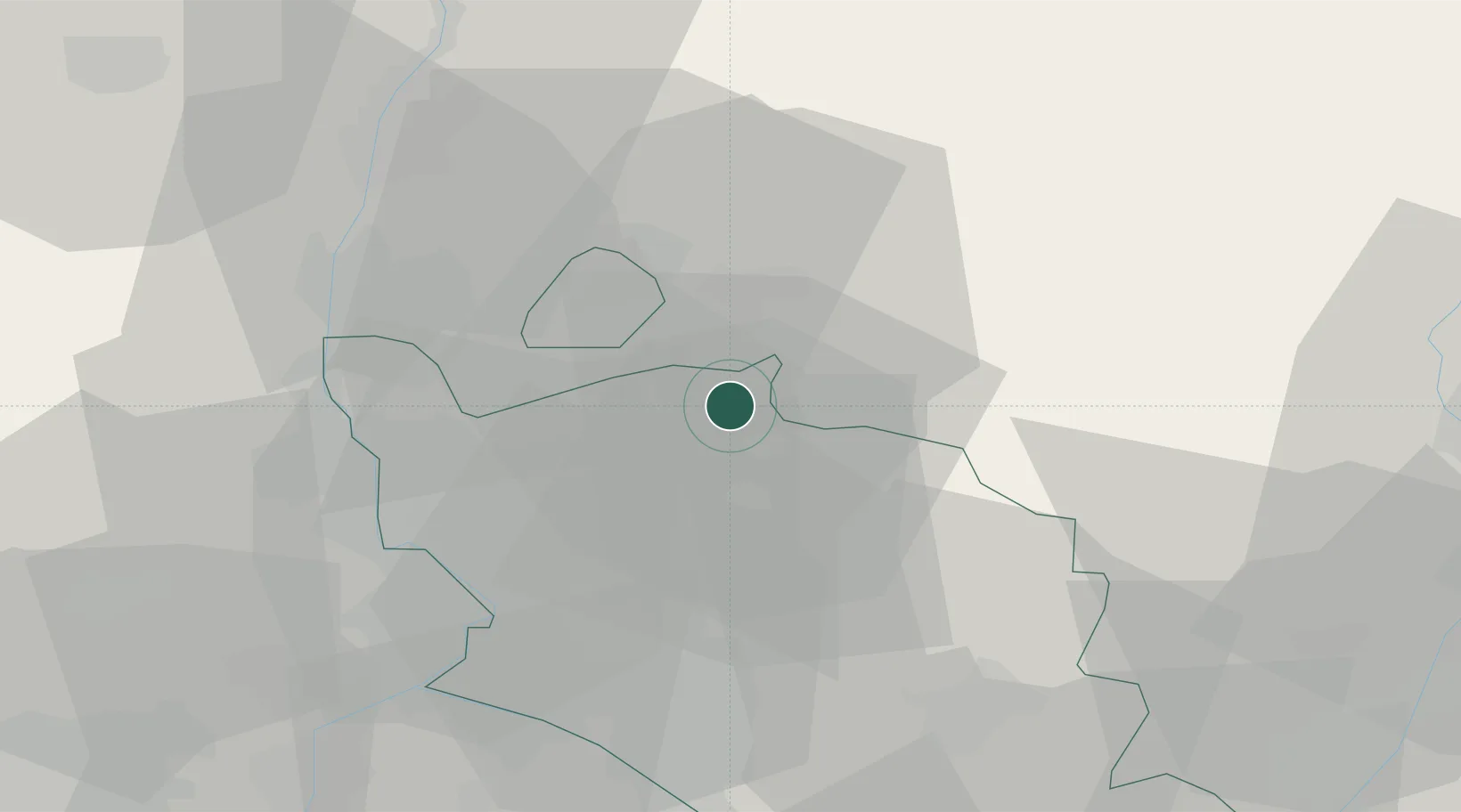
Saint-Romain-en-Viennois

44.2500°, 5.1167°
785
Population
1
Transport functions

Transport Functions

Multimodal
UN/LOCODE

Hub Profile

Place type
Populated place
GeoNames
Region
Provence-Alpes-Côte d'Azur
GeoNames
Population
785
GeoNames
Time zone
Europe/Paris
GeoNames
Elevation
264 m
GeoNames

Location

Location of FRNOT
Natural Earth 10m (public domain) · Provence-Alpes-Côte d'Azur · FRNOT · 44.25, 5.12GoogleOSMYandex

Nearby Logistics Neighbours

Cities
  1. 1Puyméras2 km
  2. 2Faucon3 km
  3. 3Entrechaux4 km
  4. 4Crestet4 km
  5. 5Villedieu8 km
Nearest neighbours — logibook spatial index (haversine) over the source coordinates
Ports
  1. 1Fos95 km
  2. 2Port-de-Bouc95 km
  3. 3Port Saint Louis Du Rhone99 km
  4. 4Marseille106 km
  5. 5Toulon143 km
Nearest neighbours — logibook spatial index (haversine) over the source coordinates
Airports
  1. 1Orange-Caritat (BA 115) Air Base23 km
  2. 2Avignon Caumont airport42 km
  3. 3Aubenas-South Ardèche Airport68 km
  4. 4Salon-de-Provence (BA 701) Air Base72 km
  5. 5Valence-Chabeuil Airport76 km
Nearest neighbours — logibook spatial index (haversine) over the source coordinates
Trade Zones
  1. 1ZFU Avignon42 km
  2. 2ZFU Nîmes78 km
  3. 3ZFU Valence78 km
  4. 4ZFU Marseille 15e et 16e104 km
  5. 5ZFU Saint-Barthélémy, Le Canet, Delorme-Paternelle108 km
Nearest neighbours — logibook spatial index (haversine) over the source coordinates
DatabookThe Record of Consolidated Knowledge
France beyond logistics?
Browse databook

All Sources

LocationsUN/LOCODE
UN/LOCODE — free
LocationsGeoNames
CC BY 4.0
Portsthe NGA World Port Index
Public domain (US gov)
AirportsOurAirports
Public domain
Trade Zonesthe World Bank SEZ database
CC BY 4.0
Trade ZonesOpen Zone Map
CC BY
← France locations