Transport Functions
Multimodal
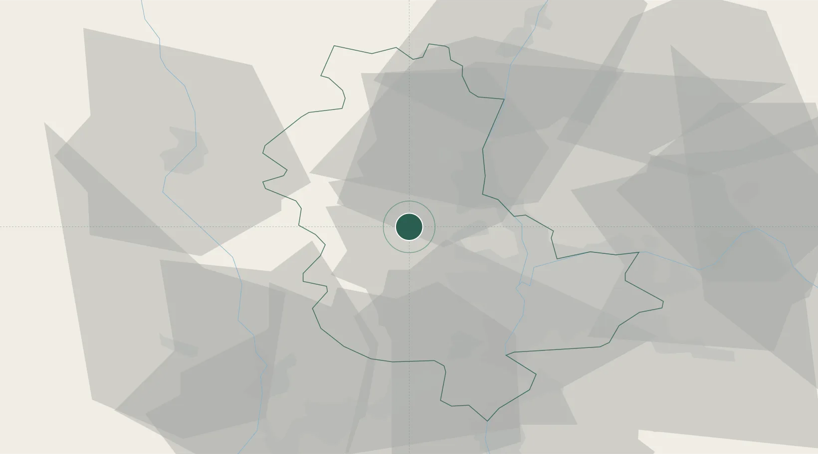
Hub Profile
Place type
Populated place
Region
Rhône-Alpes
Population
385
Time zone
Europe/Paris
Elevation
247 m
Location
Nearby Logistics Neighbours
Ports
- 1Fos275 km
- 2Port-de-Bouc278 km
- 3Port Saint Louis Du Rhone279 km
- 4Sete285 km
- 5Marseille292 km
Airports
- 1Lyon Bron Airport33 km
- 2Lyon Saint-Exupéry Airport43 km
- 3Saint-Étienne-Bouthéon Airport44 km
- 4Mâcon-Charnay Airfield49 km
- 5Roanne-Renaison Airport49 km
Trade Zones
- 1ZFU Lyon 9e21 km
- 2ZFU Rillieux-la-Pape22 km
- 3ZFU Vaulx-en-Velin29 km
- 4ZFU Vénissieux29 km
- 5ZFU Saint-Etienne56 km
DatabookThe Record of Consolidated Knowledge
France beyond logistics?