Transport Functions
Multimodal
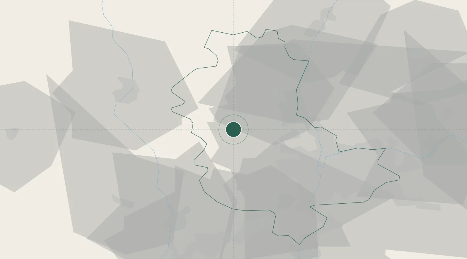
Hub Profile
Place type
Populated place
Region
Rhône-Alpes
Population
395
Time zone
Europe/Paris
Elevation
439 m
Location
Nearby Logistics Neighbours
Cities
- 1Ternand5 km
- 2Le Breuil7 km
- 3Saint-Laurent-d'Oingt8 km
- 4Valsonne8 km
- 5Létra8 km
Ports
- 1Fos278 km
- 2Port-de-Bouc281 km
- 3Port Saint Louis Du Rhone281 km
- 4Sete285 km
- 5Marseille295 km
Airports
- 1Lyon Bron Airport39 km
- 2Roanne-Renaison Airport42 km
- 3Saint-Étienne-Bouthéon Airport43 km
- 4Mâcon-Charnay Airfield50 km
- 5Lyon Saint-Exupéry Airport50 km
Trade Zones
- 1ZFU Lyon 9e28 km
- 2ZFU Rillieux-la-Pape29 km
- 3ZFU Vaulx-en-Velin35 km
- 4ZFU Vénissieux35 km
- 5ZFU Saint-Etienne55 km
DatabookThe Record of Consolidated Knowledge
France beyond logistics?