Transport Functions
Rail
Road
Airport
Postal
Hub Profile
Place type
Provincial seat
Region
Rhône-Alpes
Population
49,232
Time zone
Europe/Paris
Elevation
452 m
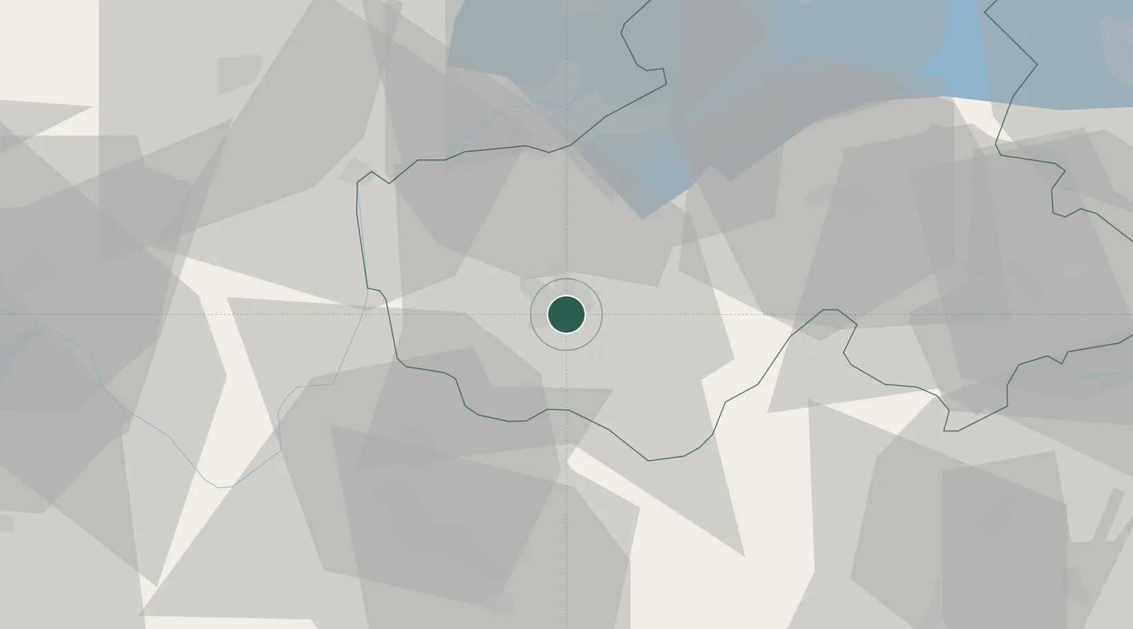
Location
Nearby Logistics Neighbours
Cities
- 1Annecy-le-Vieux2 km
- 2nnecy-le-Vieux2 km
- 3Épagny5 km
- 4Lesménils5 km
- 5Poisy6 km
Ports
- 1Savona256 km
- 2Rada Di Vado257 km
- 3Nice261 km
- 4Monaco261 km
- 5Villefranche262 km
Airports
Trade Zones
DatabookThe Record of Consolidated Knowledge
France beyond logistics?