Transport Functions
Multimodal
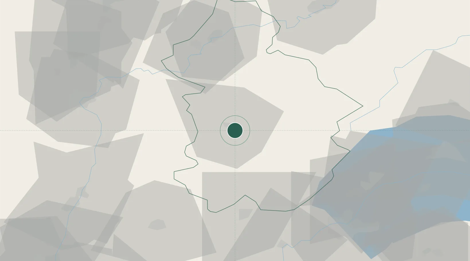
Hub Profile
Place type
Populated place
Region
Bourgogne
Population
763
Time zone
Europe/Paris
Elevation
319 m
Location
Nearby Logistics Neighbours
Cities
- 1Lons-le-Saunier4 km
- 2Lavigny7 km
- 3Alièze8 km
- 4Gevingey8 km
- 5L'Étoile9 km
Ports
- 1Savona344 km
- 2Rada Di Vado346 km
- 3Nice354 km
- 4Monaco354 km
- 5Villefranche355 km
Airports
DatabookThe Record of Consolidated Knowledge
France beyond logistics?