Transport Functions
Road
Multimodal
Hub Profile
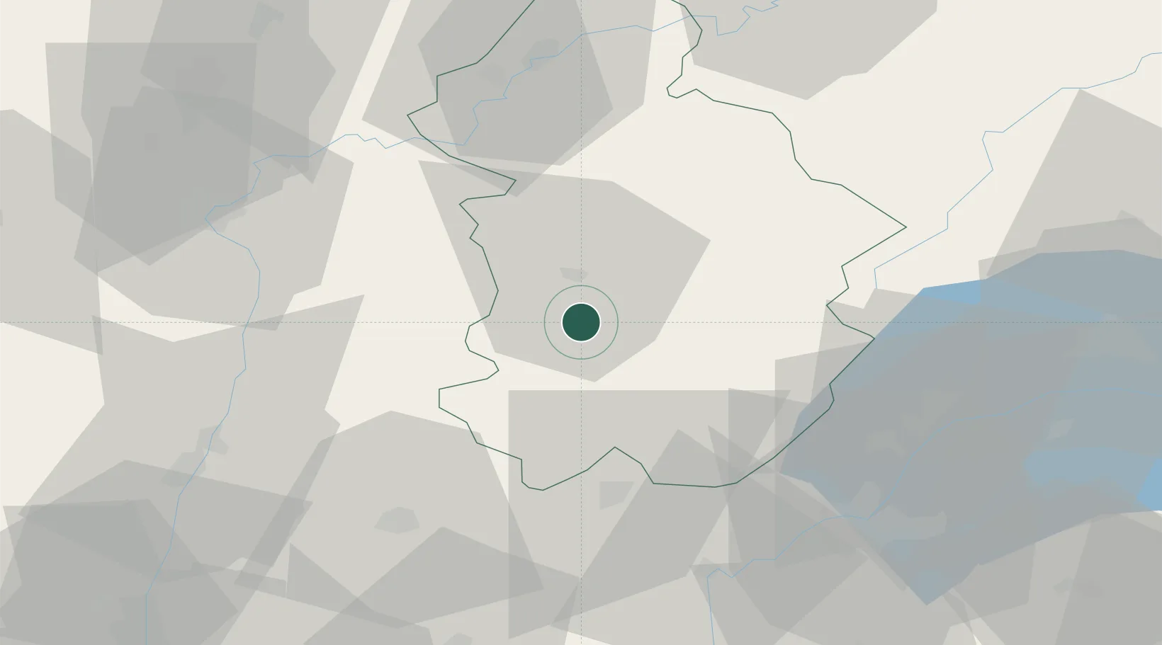
Place type
Populated place
Region
Bourgogne
Population
148
Time zone
Europe/Paris
Elevation
596 m
Location
Nearby Logistics Neighbours
Cities
- 1Conliège8 km
- 2Orgelet8 km
- 3Rotalier8 km
- 4Gevingey9 km
- 5Sainte-Agnès9 km
Ports
- 1Savona340 km
- 2Rada Di Vado341 km
- 3Nice347 km
- 4Monaco348 km
- 5Villefranche348 km
Airports
DatabookThe Record of Consolidated Knowledge
France beyond logistics?