Transport Functions
Port
Rail
Fixed Transport
Hub Profile
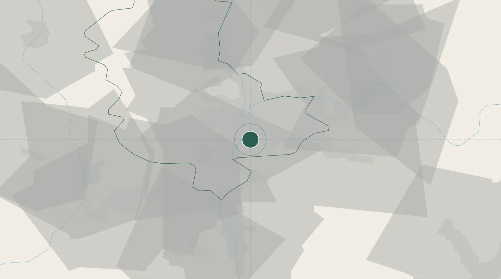
Place type
Populated place
Region
Rhône-Alpes
Population
9,539
Time zone
Europe/Paris
Elevation
228 m
Location
Nearby Logistics Neighbours
Cities
- 1Sibelin2 km
- 2Lyon4 km
- 3Vernaison4 km
- 4Saint-Priest5 km
- 5Ternay7 km
Ports
- 1Fos250 km
- 2Port-de-Bouc252 km
- 3Port Saint Louis Du Rhone254 km
- 4Marseille264 km
- 5Sete269 km
Airports
Trade Zones
- 1ZFU Vénissieux4 km
- 2ZFU Lyon 9e13 km
- 3ZFU Vaulx-en-Velin14 km
- 4ZFU Rillieux-la-Pape18 km
- 5ZFU Saint-Etienne52 km
DatabookThe Record of Consolidated Knowledge
France beyond logistics?