Transport Functions
Multimodal
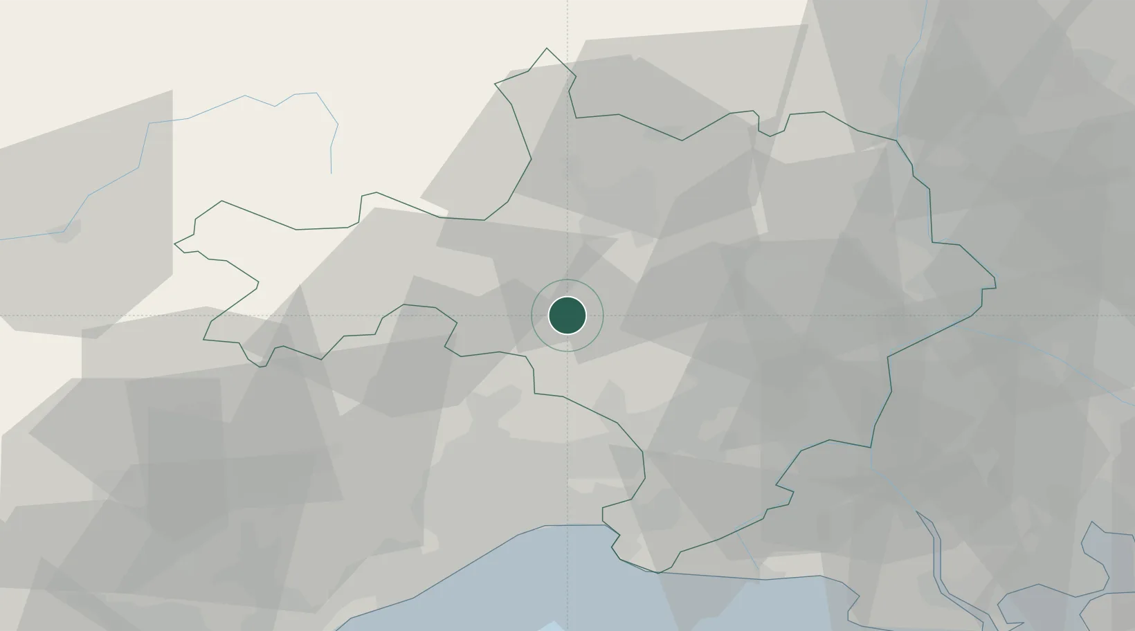
Hub Profile
Place type
Populated place
Region
Occitanie
Population
39
Time zone
Europe/Paris
Elevation
126 m
Location
Nearby Logistics Neighbours
Cities
- 1Logrian-et-Comiac-de-Florian0 km
- 2Canaules-et-Argentières4 km
- 3Savignargues4 km
- 4Saint-Jean-de-Serres5 km
- 5Quissac5 km
Ports
- 1Sete67 km
- 2Port Saint Louis Du Rhone89 km
- 3Fos91 km
- 4Port-de-Bouc98 km
- 5Marseille128 km
Airports
Trade Zones
- 1ZFU Nîmes29 km
- 2ZFU Montpellier41 km
- 3ZFU Avignon62 km
- 4ZFU Béziers95 km
- 5ZFU Saint-Barthélémy, Le Canet, Delorme-Paternelle122 km
DatabookThe Record of Consolidated Knowledge
France beyond logistics?