Transport Functions
Rail
Road
Hub Profile
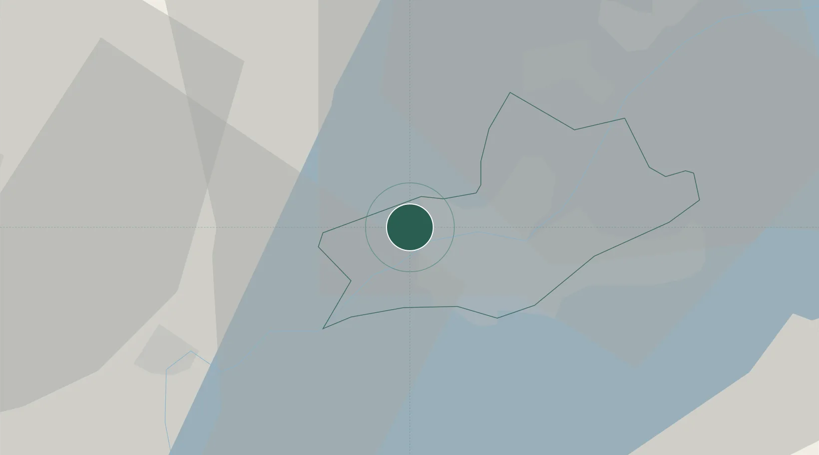
Place type
Populated place
Region
Geneva
Population
3,055
Time zone
Europe/Zurich
Elevation
422 m
Location
Nearby Logistics Neighbours
Cities
- 1La Plaine5 km
- 2Genève6 km
- 3Onex6 km
- 4Châtelaine7 km
- 5Le Grand-Saconnex8 km
Ports
- 1Savona286 km
- 2Rada Di Vado288 km
- 3Nice297 km
- 4Monaco297 km
- 5Villefranche298 km
Airports
DatabookThe Record of Consolidated Knowledge
Switzerland beyond logistics?