Transport Functions
Multimodal
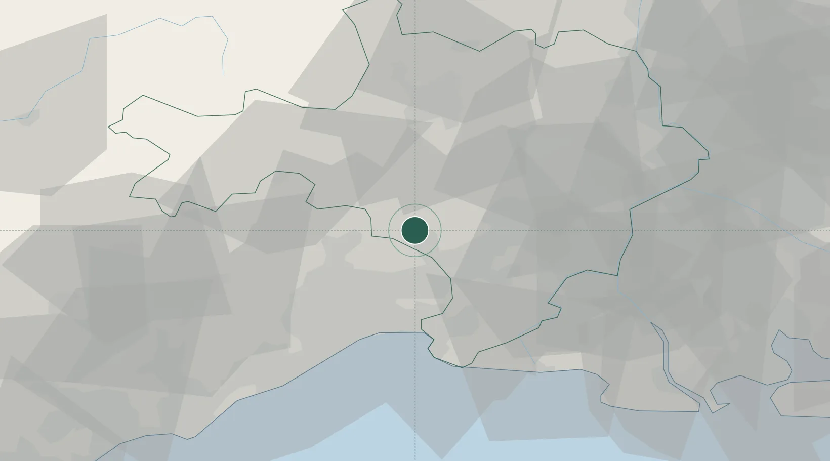
Hub Profile
Place type
Populated place
Region
Occitanie
Time zone
Europe/Paris
Elevation
57 m
Location
Nearby Logistics Neighbours
Cities
- 1Aspères3 km
- 2Saint-Clément4 km
- 3Campagne6 km
- 4Vic-le-Fesq6 km
- 5Junas6 km
Ports
- 1Sete56 km
- 2Port Saint Louis Du Rhone76 km
- 3Fos78 km
- 4Port-de-Bouc86 km
- 5Marseille117 km
Airports
Trade Zones
- 1ZFU Nîmes21 km
- 2ZFU Montpellier30 km
- 3ZFU Avignon60 km
- 4ZFU Béziers88 km
- 5ZFU Saint-Barthélémy, Le Canet, Delorme-Paternelle111 km
DatabookThe Record of Consolidated Knowledge
France beyond logistics?