Transport Functions
Multimodal
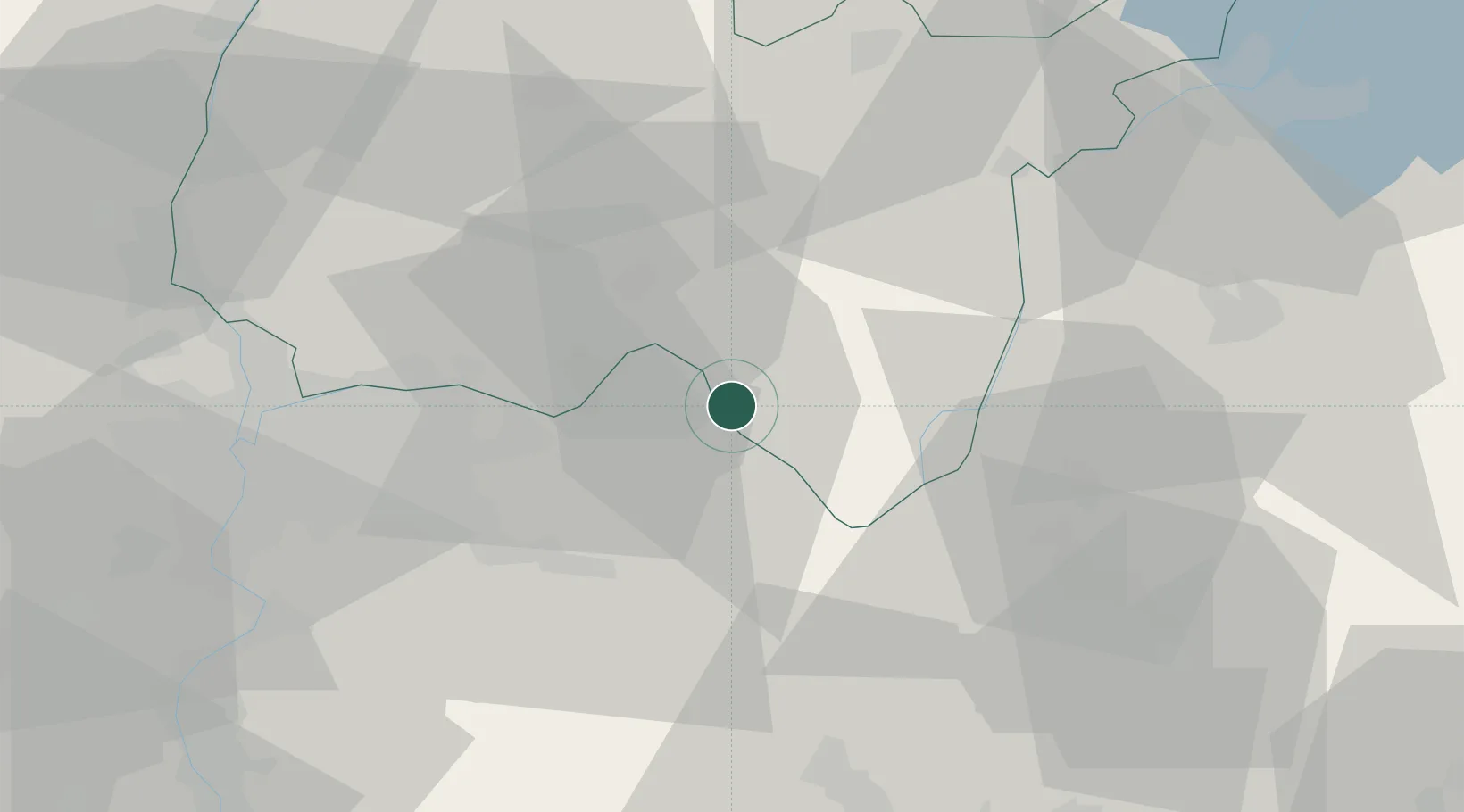
Hub Profile
Place type
Populated place
Region
Rhône-Alpes
Population
451
Time zone
Europe/Paris
Elevation
327 m
Location
Nearby Logistics Neighbours
Cities
- 1Seillonnaz1 km
- 2Bouvesse-Quirieu5 km
- 3Villebois6 km
- 4Porcieu-Amblagnieu6 km
- 5Lhuis8 km
Ports
- 1Fos269 km
- 2Port-de-Bouc270 km
- 3Port Saint Louis Du Rhone274 km
- 4Nice274 km
- 5Villefranche275 km
Airports
Trade Zones
- 1ZFU Vaulx-en-Velin42 km
- 2ZFU Rillieux-la-Pape47 km
- 3ZFU Vénissieux49 km
- 4ZFU Lyon 9e51 km
- 5Port Franc de Geneve65 km
DatabookThe Record of Consolidated Knowledge
France beyond logistics?