Transport Functions
Rail
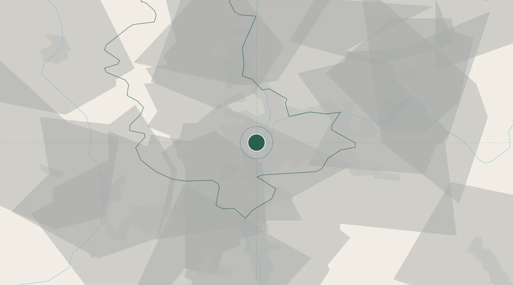
Hub Profile
Place type
Populated place
Region
Rhône-Alpes
Population
25,592
Time zone
Europe/Paris
Elevation
190 m
Location
Nearby Logistics Neighbours
Cities
- 1Lyon4 km
- 2Guillotière/Lyon5 km
- 3Tassin-la-Demi-Lune6 km
- 4Brignais7 km
- 5Vernaison8 km
Ports
- 1Fos256 km
- 2Port-de-Bouc258 km
- 3Port Saint Louis Du Rhone260 km
- 4Marseille271 km
- 5Sete272 km
Airports
Trade Zones
- 1ZFU Vénissieux5 km
- 2ZFU Lyon 9e6 km
- 3ZFU Vaulx-en-Velin12 km
- 4ZFU Rillieux-la-Pape13 km
- 5ZFU Saint-Etienne51 km
DatabookThe Record of Consolidated Knowledge
France beyond logistics?