Transport Functions
Rail
Road
Hub Profile
Place type
Populated place
Region
Rhône-Alpes
Population
12,427
Time zone
Europe/Paris
Elevation
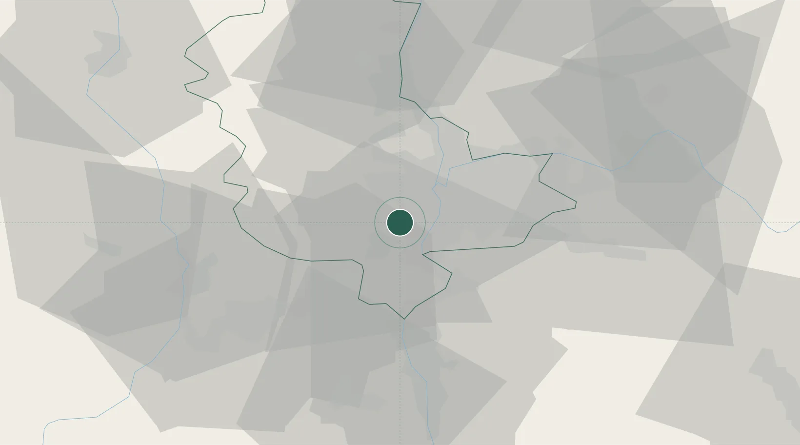
208 m
Location
Nearby Logistics Neighbours
Cities
- 1Millery4 km
- 2Soucieu-en-Jarrest4 km
- 3Vernaison6 km
- 4Oullins7 km
- 5Chassagny8 km
Ports
- 1Fos250 km
- 2Port-de-Bouc253 km
- 3Port Saint Louis Du Rhone254 km
- 4Sete265 km
- 5Marseille266 km
Airports
Trade Zones
- 1ZFU Vénissieux9 km
- 2ZFU Lyon 9e13 km
- 3ZFU Vaulx-en-Velin19 km
- 4ZFU Rillieux-la-Pape20 km
- 5ZFU Saint-Etienne45 km
DatabookThe Record of Consolidated Knowledge
France beyond logistics?