Transport Functions
Port
Multimodal
Hub Profile
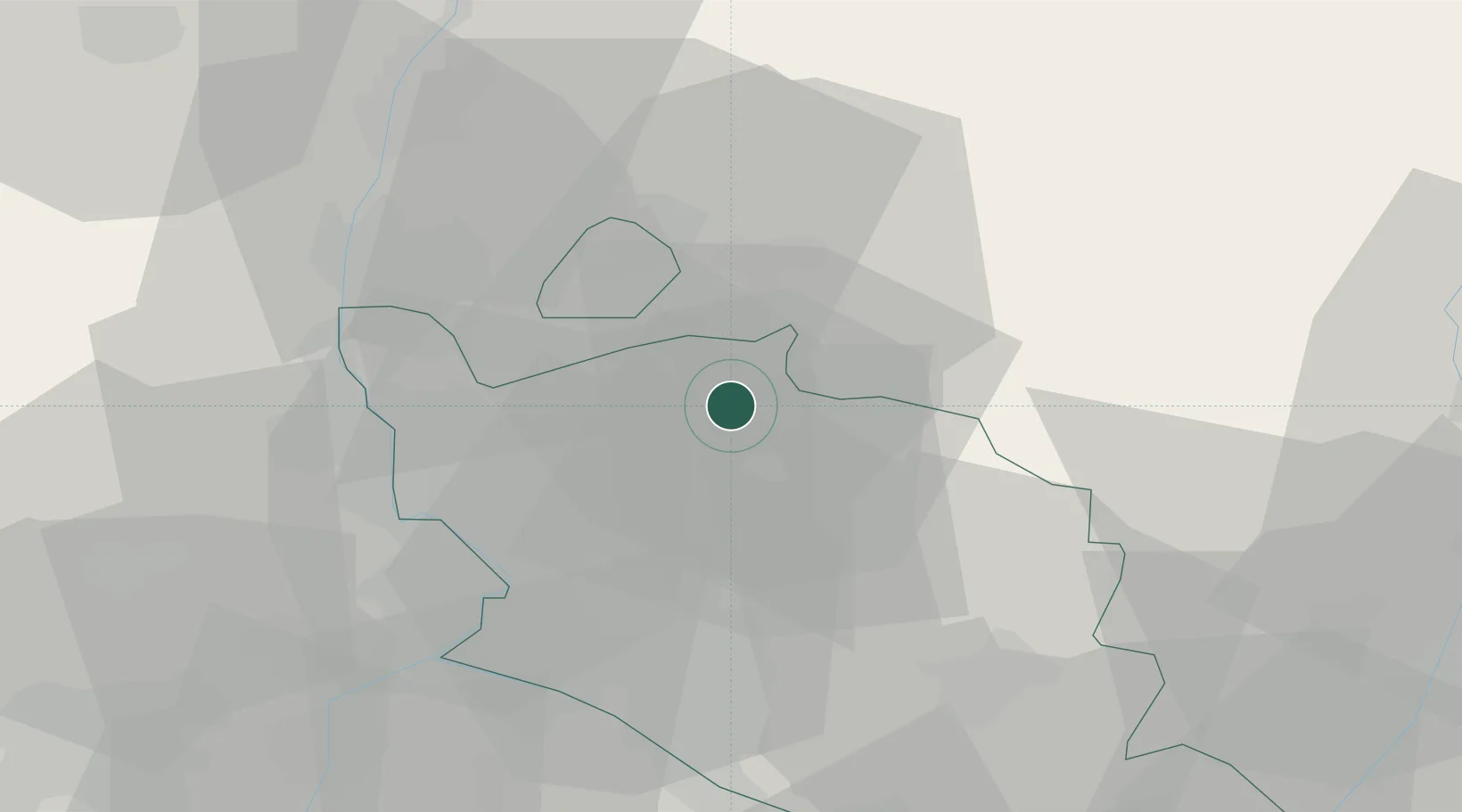
Place type
Populated place
Region
Provence-Alpes-Côte d'Azur
Population
465
Time zone
Europe/Paris
Elevation
352 m
Location
Nearby Logistics Neighbours
Cities
- 1Entrechaux3 km
- 2Saint-Romain-en-Viennois4 km
- 3Puyméras6 km
- 4Beaumont-du-Ventoux7 km
- 5Faucon7 km
Ports
- 1Fos91 km
- 2Port-de-Bouc91 km
- 3Port Saint Louis Du Rhone95 km
- 4Marseille102 km
- 5Toulon141 km
Airports
Trade Zones
- 1ZFU Avignon38 km
- 2ZFU Nîmes75 km
- 3ZFU Valence81 km
- 4ZFU Marseille 15e et 16e101 km
- 5ZFU Saint-Barthélémy, Le Canet, Delorme-Paternelle105 km
DatabookThe Record of Consolidated Knowledge
France beyond logistics?