Transport Functions
Multimodal
Hub Profile
Place type
Populated place
Region
Grand Est
Population
480
Time zone
Europe/Paris
Elevation
200 m
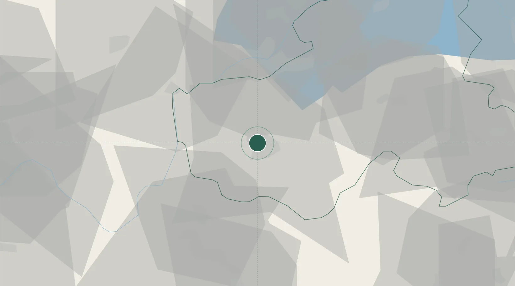
Location
Nearby Logistics Neighbours
Cities
- 1Épagny0 km
- 2Argonay2 km
- 3Poisy3 km
- 4Annecy-le-Vieux4 km
- 5nnecy-le-Vieux4 km
Ports
- 1Savona260 km
- 2Rada Di Vado262 km
- 3Nice265 km
- 4Monaco266 km
- 5Villefranche266 km
Airports
Trade Zones
DatabookThe Record of Consolidated Knowledge
France beyond logistics?