Transport Functions
Road
Multimodal
Hub Profile
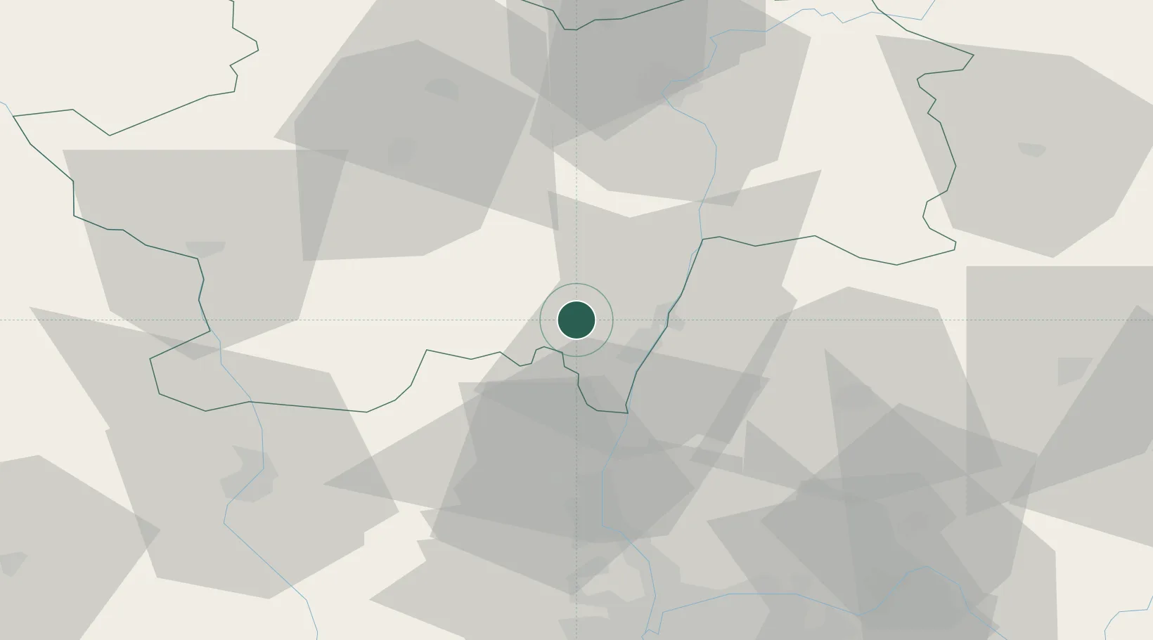
Place type
Populated place
Region
Bourgogne
Population
315
Time zone
Europe/Paris
Elevation
316 m
Location
Nearby Logistics Neighbours
Cities
- 1La Roche-Vineuse1 km
- 2Sologny1 km
- 3Verzé5 km
- 4Le Martelet6 km
- 5Solutré-Pouilly6 km
Ports
- 1Fos327 km
- 2Port-de-Bouc329 km
- 3Port Saint Louis Du Rhone330 km
- 4Sete337 km
- 5Marseille341 km
Airports
- 1Mâcon-Charnay Airfield10 km
- 2Saint-Yan Airport53 km
- 3Ambérieu Air Base (BA 278)63 km
- 4Roanne-Renaison Airport63 km
- 5Lyon Bron Airport72 km
Trade Zones
- 1ZFU Rillieux-la-Pape60 km
- 2ZFU Lyon 9e65 km
- 3ZFU Vaulx-en-Velin66 km
- 4ZFU Vénissieux74 km
- 5ZFU Chenôve107 km
DatabookThe Record of Consolidated Knowledge
France beyond logistics?