Transport Functions
Multimodal
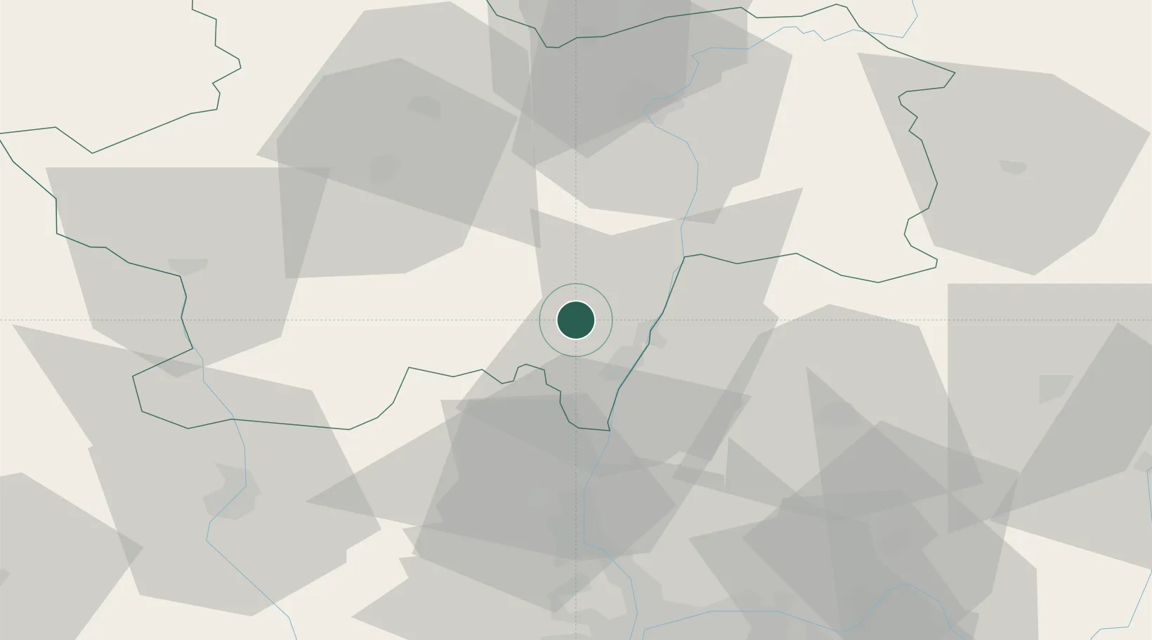
Hub Profile
Place type
Populated place
Region
Bourgogne
Population
646
Time zone
Europe/Paris
Elevation
281 m
Location
Nearby Logistics Neighbours
Cities
- 1La Roche-Vineuse4 km
- 2Milly-Lamartine5 km
- 3Sologny5 km
- 4Laizé5 km
- 5Azé6 km
Ports
- 1Fos330 km
- 2Port-de-Bouc332 km
- 3Port Saint Louis Du Rhone334 km
- 4Sete342 km
- 5Marseille345 km
Airports
- 1Mâcon-Charnay Airfield11 km
- 2Saint-Yan Airport55 km
- 3Ambérieu Air Base (BA 278)64 km
- 4Roanne-Renaison Airport67 km
- 5Lyon Bron Airport75 km
Trade Zones
- 1ZFU Rillieux-la-Pape63 km
- 2ZFU Lyon 9e68 km
- 3ZFU Vaulx-en-Velin69 km
- 4ZFU Vénissieux77 km
- 5ZFU Chenôve103 km
DatabookThe Record of Consolidated Knowledge
France beyond logistics?