Transport Functions
Rail
Road
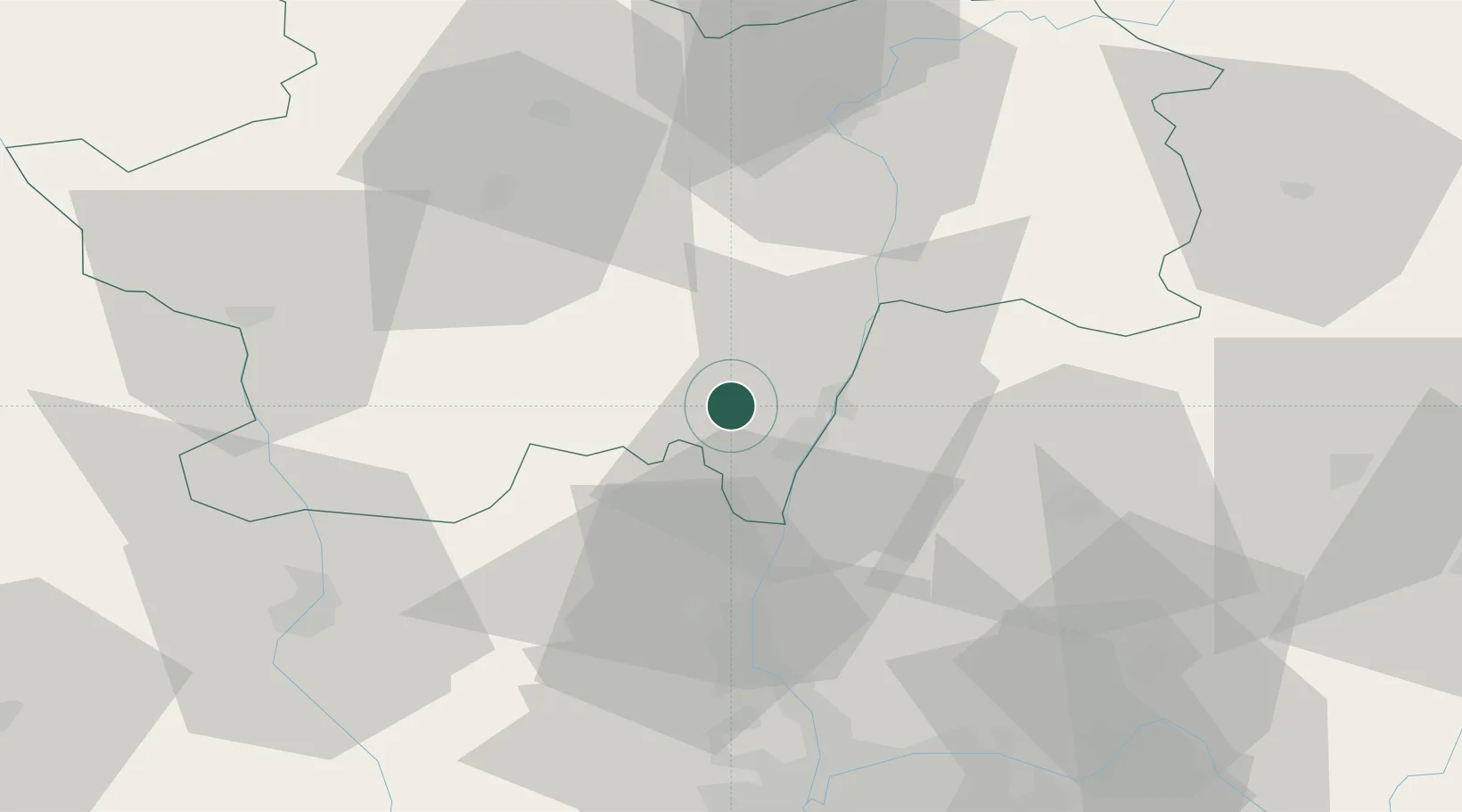
Hub Profile
Place type
Populated place
Region
Bourgogne
Population
1,392
Time zone
Europe/Paris
Elevation
230 m
Location
Nearby Logistics Neighbours
Cities
- 1Milly-Lamartine1 km
- 2Sologny3 km
- 3Verzé4 km
- 4Solutré-Pouilly6 km
- 5Vergisson6 km
Ports
- 1Fos326 km
- 2Port-de-Bouc329 km
- 3Port Saint Louis Du Rhone330 km
- 4Sete338 km
- 5Marseille341 km
Airports
- 1Mâcon-Charnay Airfield9 km
- 2Saint-Yan Airport54 km
- 3Ambérieu Air Base (BA 278)62 km
- 4Roanne-Renaison Airport64 km
- 5Lyon Bron Airport71 km
Trade Zones
- 1ZFU Rillieux-la-Pape59 km
- 2ZFU Lyon 9e64 km
- 3ZFU Vaulx-en-Velin65 km
- 4ZFU Vénissieux73 km
- 5Geneva Cointrin International Airport Free Port106 km
DatabookThe Record of Consolidated Knowledge
France beyond logistics?