UN/LOCODE hub · France
FRMB2
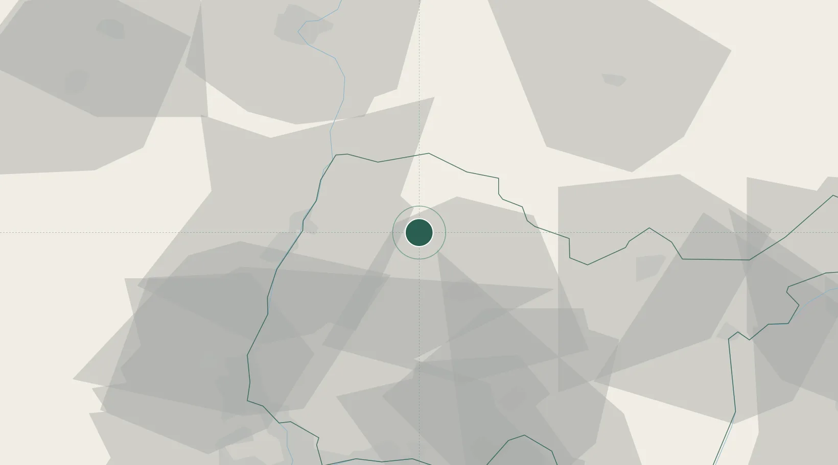
Montrevel-en-Bresse
46.3333°, 5.1333°
2,202
Population
1
Transport functions
Transport Functions
Multimodal
Hub Profile
Place type
Populated place
Region
Rhône-Alpes
Population
2,202
Time zone
Europe/Paris
Elevation
215 m
Location
Nearby Logistics Neighbours
Cities
- 1Polliat9 km
- 2Péronnas17 km
- 3Manziat18 km
- 4Boz18 km
- 5Pont-de-Vaux19 km
Ports
- 1Fos325 km
- 2Port-de-Bouc326 km
- 3Port Saint Louis Du Rhone329 km
- 4Marseille336 km
- 5Nice338 km
Airports
Trade Zones
- 1ZFU Rillieux-la-Pape60 km
- 2ZFU Vaulx-en-Velin64 km
- 3ZFU Lyon 9e67 km
- 4ZFU Vénissieux74 km
- 5Geneva Cointrin International Airport Free Port74 km
DatabookThe Record of Consolidated Knowledge
France beyond logistics?