Transport Functions
Port
Road
Hub Profile
Place type
Populated place
Region
Rhône-Alpes
Population
2,055
Time zone
Europe/Paris
Elevation
177 m
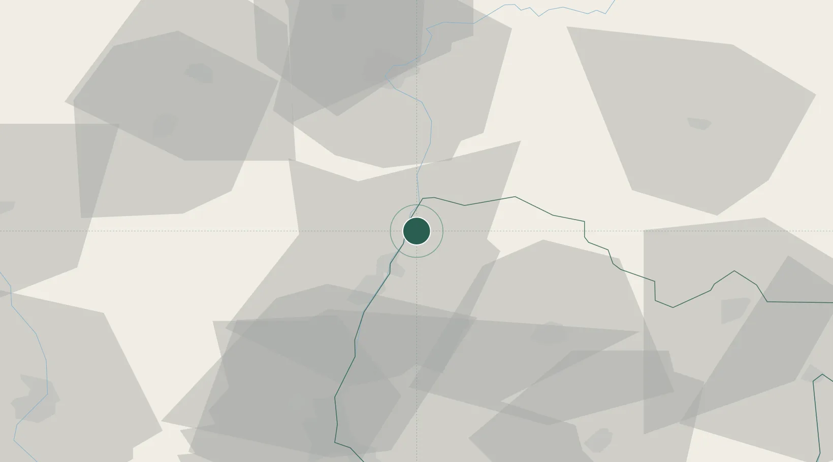
Location
Nearby Logistics Neighbours
Cities
- 1Boz4 km
- 2La Salle6 km
- 3Montbellet8 km
- 4Viré8 km
- 5Quintaine8 km
Ports
- 1Fos336 km
- 2Port-de-Bouc337 km
- 3Port Saint Louis Du Rhone339 km
- 4Marseille348 km
- 5Sete351 km
Airports
- 1Mâcon-Charnay Airfield19 km
- 2Ambérieu Air Base (BA 278)58 km
- 3Saint-Yan Airport71 km
- 4Dole Tavaux Airport77 km
- 5Lyon Bron Airport78 km
Trade Zones
- 1ZFU Rillieux-la-Pape68 km
- 2ZFU Vaulx-en-Velin73 km
- 3ZFU Lyon 9e74 km
- 4ZFU Vénissieux82 km
- 5Geneva Cointrin International Airport Free Port92 km
DatabookThe Record of Consolidated Knowledge
France beyond logistics?