Transport Functions
Multimodal
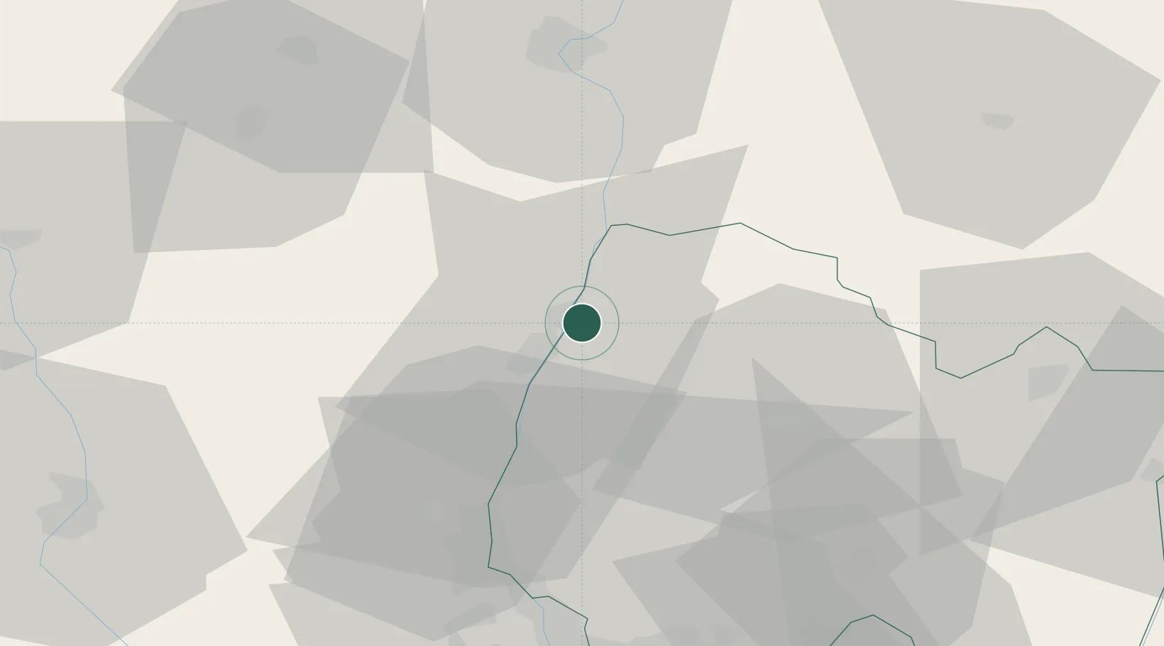
Hub Profile
Place type
Populated place
Region
Rhône-Alpes
Population
1,759
Time zone
Europe/Paris
Elevation
196 m
Location
Nearby Logistics Neighbours
Cities
- 1Sancé5 km
- 2Boz6 km
- 3La Salle6 km
- 4Laizé10 km
- 5Pont-de-Vaux10 km
Ports
- 1Fos326 km
- 2Port-de-Bouc328 km
- 3Port Saint Louis Du Rhone330 km
- 4Marseille339 km
- 5Sete341 km
Airports
- 1Mâcon-Charnay Airfield10 km
- 2Ambérieu Air Base (BA 278)52 km
- 3Saint-Yan Airport68 km
- 4Lyon Bron Airport69 km
- 5Lyon Saint-Exupéry Airport71 km
Trade Zones
- 1ZFU Rillieux-la-Pape58 km
- 2ZFU Vaulx-en-Velin63 km
- 3ZFU Lyon 9e65 km
- 4ZFU Vénissieux73 km
- 5Geneva Cointrin International Airport Free Port92 km
DatabookThe Record of Consolidated Knowledge
France beyond logistics?