UN/LOCODE hub · France
FRXQX
Bligny-lès-Beaune
46.9833°, 4.8333°
1,230
Population
1
Transport functions
Transport Functions
Multimodal
Hub Profile
Place type
Populated place
Region
Bourgogne
Population
1,230
Time zone
Europe/Paris
Elevation
220 m
Location
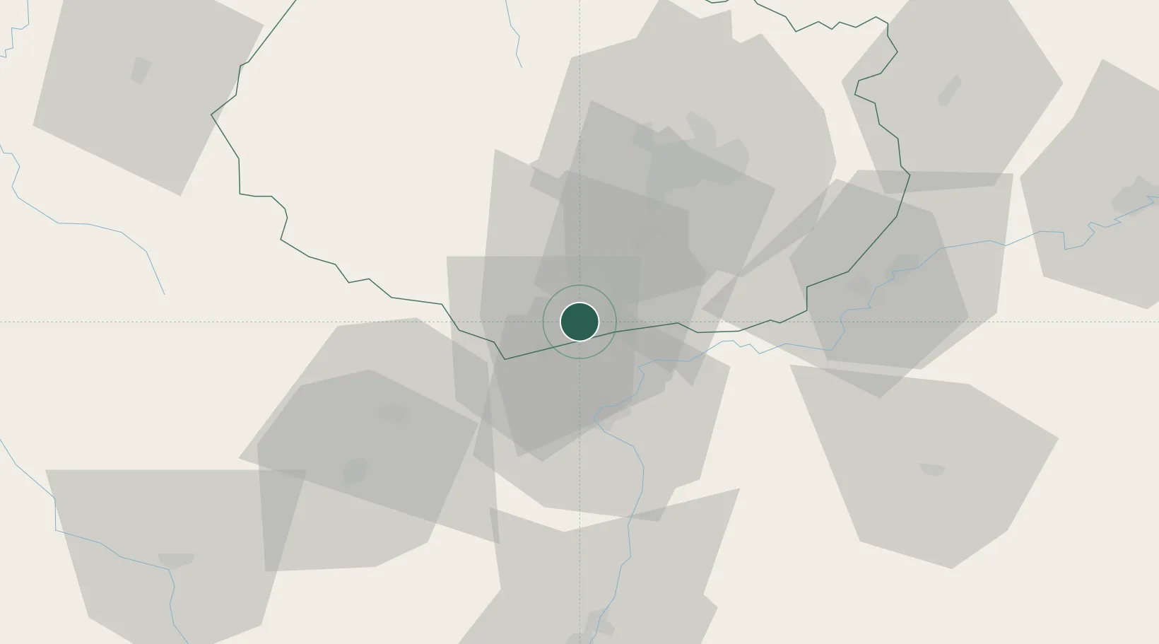
Nearby Logistics Neighbours
Cities
- 1Tailly2 km
- 2Levernois3 km
- 3Beaune4 km
- 4Volnay4 km
- 5Corcelles-les-Arts5 km
Ports
- 1Port Of Rouen391 km
- 2Fos397 km
- 3Port-de-Bouc399 km
- 4Port Saint Louis Du Rhone400 km
- 5Sete408 km
Airports
- 1Dijon Longvic airport37 km
- 2Dole Tavaux Airport46 km
- 3Mâcon-Charnay Airfield77 km
- 4Saint-Yan Airport89 km
- 5Ambérieu Air Base (BA 278)117 km
Trade Zones
- 1ZFU Chenôve36 km
- 2ZFU Besancon93 km
- 3Geneva Cointrin International Airport Free Port128 km
- 4ZFU Rillieux-la-Pape129 km
- 5Port Franc de Geneve131 km
DatabookThe Record of Consolidated Knowledge
France beyond logistics?