Transport Functions
Multimodal
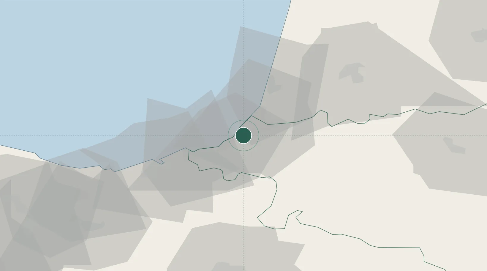
Hub Profile
Place type
Populated place
Region
Nouvelle-Aquitaine
Time zone
Europe/Paris
Elevation
45 m
Location
Nearby Logistics Neighbours
Cities
- 1Bidart2 km
- 2Biarritz4 km
- 3Bassussarry4 km
- 4Guéthary6 km
- 5Bayonne8 km
Ports
- 1Bayonne9 km
- 2Puerto De Pasajes34 km
- 3Bermeo94 km
- 4Puerto De Bilbao122 km
- 5Bordeaux176 km
Airports
Trade Zones
- 1Depósito Franco de Pasajes (Guipúzcoa)33 km
- 2Depósito Franco de Bilbao121 km
- 3ZFU Hauts de Garonne172 km
- 4Port de Bordeaux181 km
- 5Zona Franca de Santander183 km
DatabookThe Record of Consolidated Knowledge
France beyond logistics?