Transport Functions
Port
Road
Hub Profile
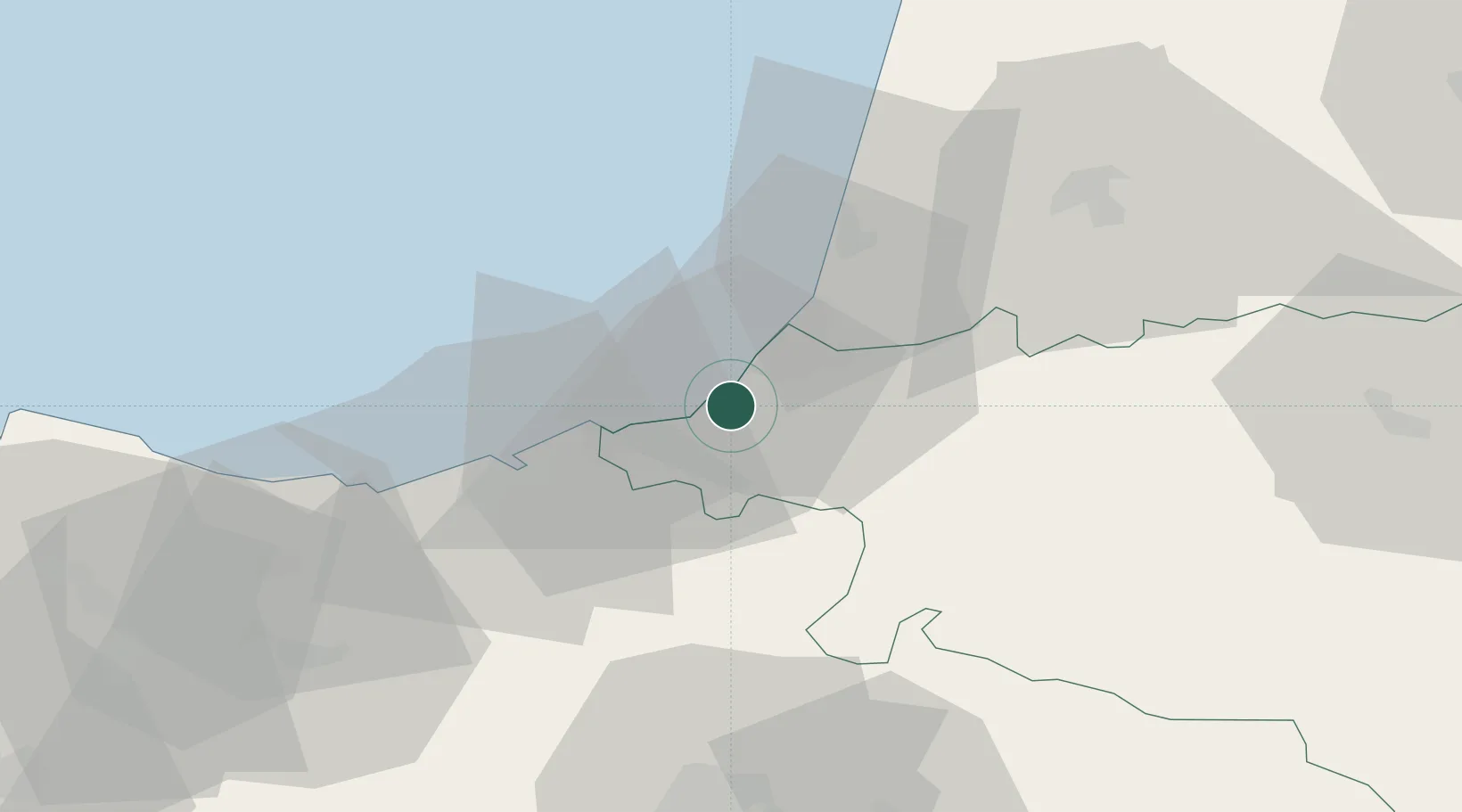
Place type
Populated place
Region
Nouvelle-Aquitaine
Population
1,370
Time zone
Europe/Paris
Elevation
39 m
Location
Nearby Logistics Neighbours
Cities
- 1Bidart3 km
- 2La Negresse6 km
- 3Biarritz8 km
- 4Saint-Pée-sur-Nivelle8 km
- 5Bassussarry9 km
Ports
- 1Bayonne14 km
- 2Puerto De Pasajes29 km
- 3Bermeo90 km
- 4Puerto De Bilbao117 km
- 5Santander176 km
Airports
- 1Biarritz Pays Basque airport9 km
- 2San Sebastián Airport17 km
- 3Pamplona Airport72 km
- 4Pau Pyrénées Airport96 km
- 5Mont-de-Marsan (BA 118) Air Base104 km
Trade Zones
- 1Depósito Franco de Pasajes (Guipúzcoa)28 km
- 2Depósito Franco de Bilbao117 km
- 3ZFU Hauts de Garonne177 km
- 4Zona Franca de Santander179 km
- 5Port de Bordeaux187 km
DatabookThe Record of Consolidated Knowledge
France beyond logistics?