UN/LOCODE hub · France
FRJRS
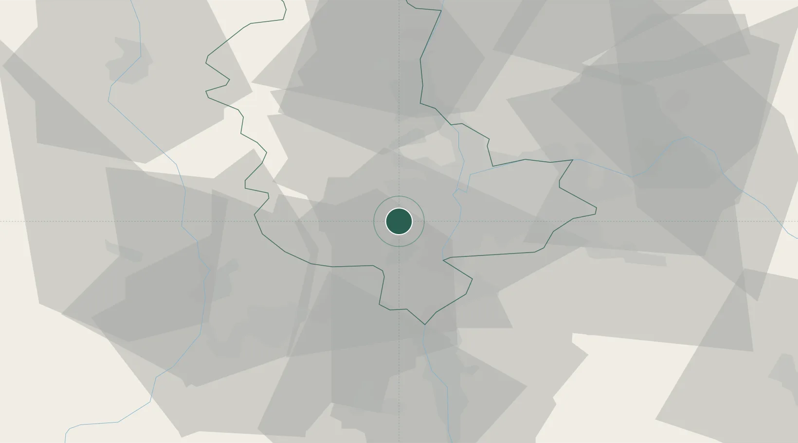
Soucieu-en-Jarrest
45.6833°, 4.7000°
3,395
Population
1
Transport functions
Transport Functions
Multimodal
Hub Profile
Place type
Populated place
Region
Rhône-Alpes
Population
3,395
Time zone
Europe/Paris
Elevation
332 m
Location
Nearby Logistics Neighbours
Ports
- 1Fos253 km
- 2Port-de-Bouc255 km
- 3Port Saint Louis Du Rhone256 km
- 4Sete266 km
- 5Marseille268 km
Airports
Trade Zones
- 1ZFU Vénissieux12 km
- 2ZFU Lyon 9e13 km
- 3ZFU Rillieux-la-Pape20 km
- 4ZFU Vaulx-en-Velin20 km
- 5ZFU Saint-Etienne43 km
DatabookThe Record of Consolidated Knowledge
France beyond logistics?