Transport Functions
Rail
Road
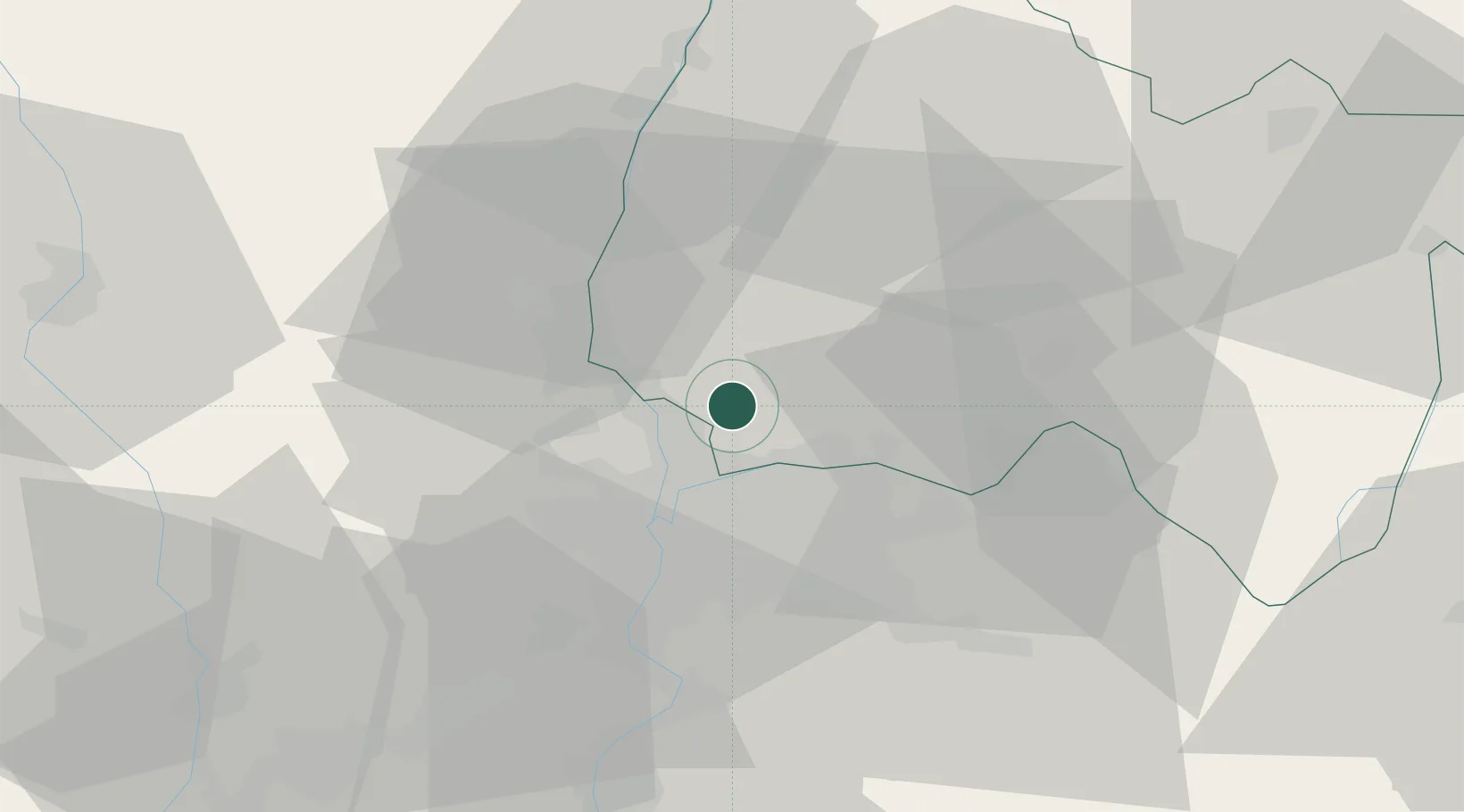
Hub Profile
Place type
Populated place
Region
Rhône-Alpes
Population
2,293
Time zone
Europe/Paris
Elevation
287 m
Location
Nearby Logistics Neighbours
Cities
- 1Saint-André-de-Corcy2 km
- 2Neuville-sur-Saône7 km
- 3Saint-Maurice-de-Beynost8 km
- 4Parcieux8 km
- 5Genay8 km
Ports
- 1Fos276 km
- 2Port-de-Bouc278 km
- 3Port Saint Louis Du Rhone280 km
- 4Marseille289 km
- 5Sete295 km
Airports
Trade Zones
- 1ZFU Rillieux-la-Pape10 km
- 2ZFU Vaulx-en-Velin13 km
- 3ZFU Lyon 9e17 km
- 4ZFU Vénissieux24 km
- 5ZFU Saint-Etienne73 km
DatabookThe Record of Consolidated Knowledge
France beyond logistics?